Lincs Sheet 91.08 Wainfleet All Saints 1904 - published 2022; introduction by Alan Lamb. ISBN.978-1-78721-501-6 
This detailed map gives good coverage of the small Lincolnshire town of Wainfleet.
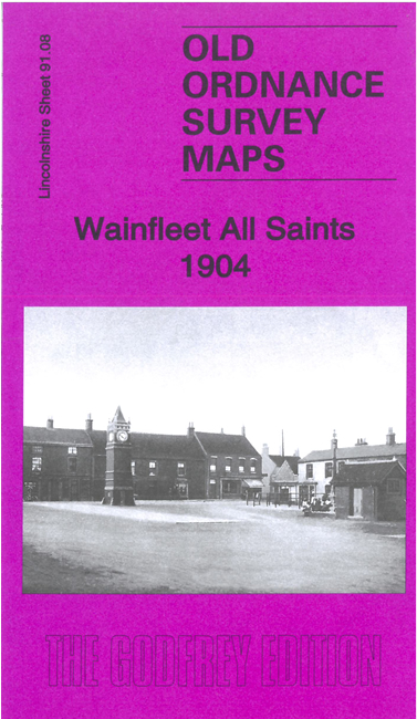
Features include railway with station, Wainfleet Hall, Wainfleet Haven, Great Field, All Saints church, Northolme, town centre with
individual buildings shown, etc.
The map includes a specially written introduction by Alan Lamb together with extracts from a 1905 directory of the town.
Follow this link for a complete list of our Lincolnshire Series maps.
You can order maps direct from our On-line Mapshop.
For other information and prices, and other areas, go to The Index Page.
Maps in the Godfrey Edition are taken from the 25 inch to the mile map and reduced to about 15 inches to the mile.
For a full list of maps for England, return to the England page.
Alan Godfrey Maps, Prospect Business Park, Leadgate, Consett, Co Durham, DH8 7PW / sales@alangodfreymaps.co.uk / 13 January 2022

 Here are the details of maps for Wainfleet: