Lincs Sheet 82.08 Spilsby & Hundleby 1904 - published 2022; introduction by Alan Lamb. ISBN.978-1-78721-545-0 
This map of Spilsby and Hundleby is double sided for maximum coverage.
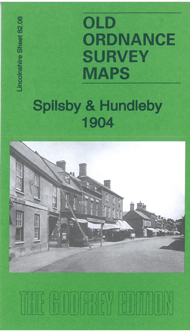
The main map covers the small market town of Spilsby. Features include the town centre, Market Place, Town Hall, railway with station,
St James church, Spilsby Union Workhouse, Eresby House, Cowgates Farm.
On the reverse we extend coverage to the adjacent village of Hundleby, including St Mary's church, Hundleby Brewery etc.
Follow this link for a complete list of our Lincolnshire Series maps.
For other information and prices, and other areas, go to The Index Page.
Maps in the Godfrey Edition are taken from the 25 inch to the mile map and reduced to about 15 inches to the mile.
For a full list of maps for England, return to the England page.
Alan Godfrey Maps, Prospect Business Park, Leadgate, Consett, Co Durham, DH8 7PW /
sales@alangodfreymaps.co.uk / 5 May 2022

 Here are the details of maps for Spilsby: