Old Ordnance Survey Maps of Lincolnshire

  • These detailed maps normally cover an area of about one and a half miles by one mile. Each map includes an introduction.
  • They are available through our On-line Mapshop

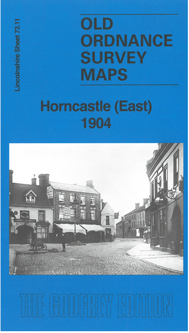
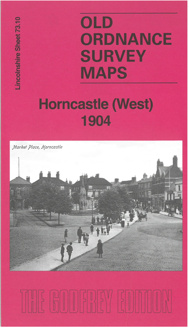
  • Here are the details of maps for Horncastle:

  • Lincs Sheet 73.10 Horncastle (West) 1904 - published 2026; introduction by Alan Godfrey. ISBN.978-1-78721-967-0
  • Lincs Sheet 73.11 Horncastle (East) 1904 - published 2026; introduction by Alan Godfrey. ISBN.978-1-78721-968-7

    These two maps, both of which are double-sided, combine to give excellent coverage of Horncastle. Each includes a specially written introduction to the history of the area.

    The West map covers the area from the High Street westward to Thimbleby. Features include the Market Place, St Mary's Church, railway with station and goods yard, Horncastle Canal, Banovallum House, Victoria Mill, Thimbleby village, St Margaret's Church, Hallgarth House, etc.

    The East map covers the area from North Street, Bull Ring and South Street eastward. Features include Holy Trinity Church, Phoenix Brewery, windmills, Cottage Hospital, Low Toynton village, Hornchurch Union Workhouse, Hangman's Corner, St Peter's Church, part of High Toynton village, St John's Church, High Toynton House, etc.


  • Follow this link for a complete list of our Lincolnshire Series maps. For other information and prices, and other areas, go to The Index Page.
  • Maps in the Godfrey Edition are taken from the 25 inch to the mile map and reduced to about 15 inches to the mile. For a full list of maps for England, return to the England page.
    Alan Godfrey Maps, Prospect Business Park, Leadgate, Consett, Co Durham, DH8 7PW / sales@alangodfreymaps.co.uk / 1 May 2026