Lincs 58.05 Mablethorpe 1888 - published 2022; intro by Alan Godfrey. ISBN.978-1-78721-526-9 
This detailed map of Mablethorpe is double-sided for maximum coverage.
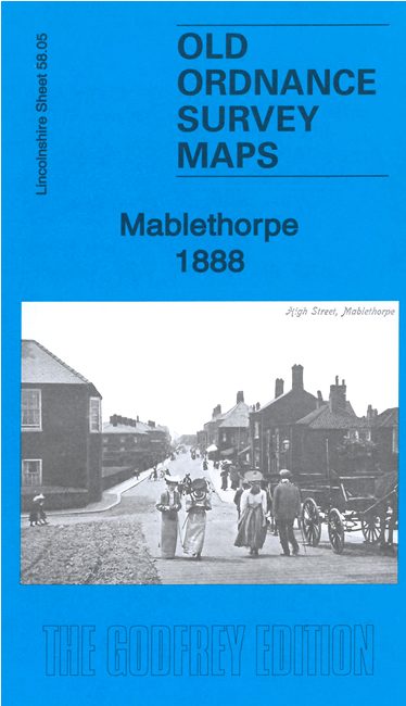
The main map covers the heart of what was still a small town, with the railway terminating here. Features include the railway and station, hotels,
windmills, Gibraltar, convalescent home, Eagle Hotel, Fulbeck House, villas etc.
The map on the reverse extends coverage westward to include St Mary's church and Mablethorpe Hall.
Follow this link for a complete list of our Lincolnshire Series maps.
You can order maps direct from our On-line Mapshop.
For other information and prices, and other areas, go to The Index Page.
Maps in the Godfrey Edition are taken from the 25 inch to the mile map and reduced to about 15 inches to the mile.
For a full list of maps for England, return to the England page.
Alan Godfrey Maps, Prospect Business Park, Leadgate, Consett, Co Durham, DH8 7PW / sales@alangodfreymaps.co.uk / 25 February 2022

 Here are the details of maps for Mablethorpe: