Lincs Sheet 23.09 Cleethorpes 1906 - published 2022; introduction by Alan Godfrey. ISBN.978-1-78721-539-9 
This title has two maps: the 1906 map and, on the reverse, the greater part of the 1887 version.
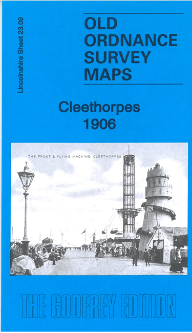
The maps cover the resort area of Cleethorpes. Features (taken from the 1906 version) include railway station, pier, promenade, Cliff Gardens, Humberston Colonnade,
Council House, tramway, St Peter's church, Market Street, Hotel, Switchback Railway, Kingsway etc.
Follow this link for a complete list of our Lincolnshire Series maps.
For other information and prices, and other areas, go to The Index Page.
Maps in the Godfrey Edition are taken from the 25 inch to the mile map and reduced to about 15 inches to the mile.
For a full list of maps for England, return to the England page.
Alan Godfrey Maps, Prospect Business Park, Leadgate, Consett, Co Durham, DH8 7PW /
sales@alangodfreymaps.co.uk / 5 May 2022

 Here are the details of maps for Cleethorpes: