
 Here are the details of maps for Barton upon Humber:

This map covers the town of Barton upon Humber and is double-sided for maximum coverage.
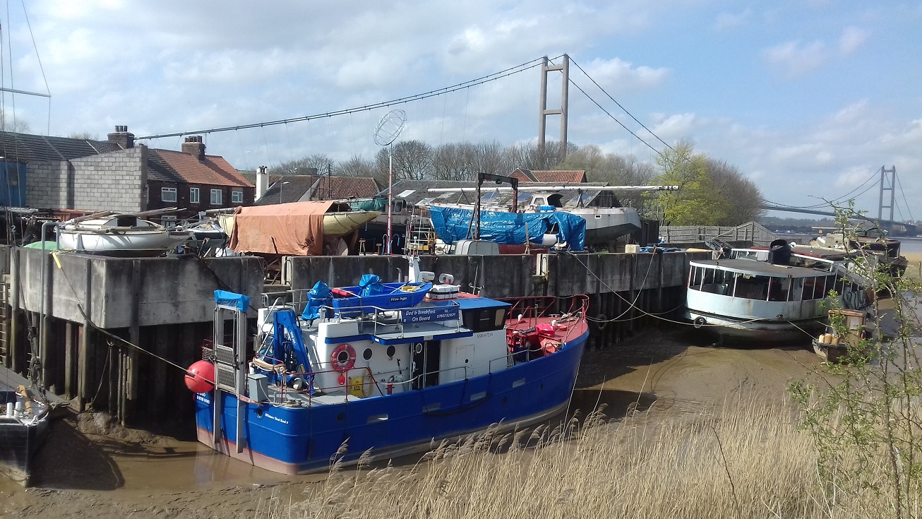
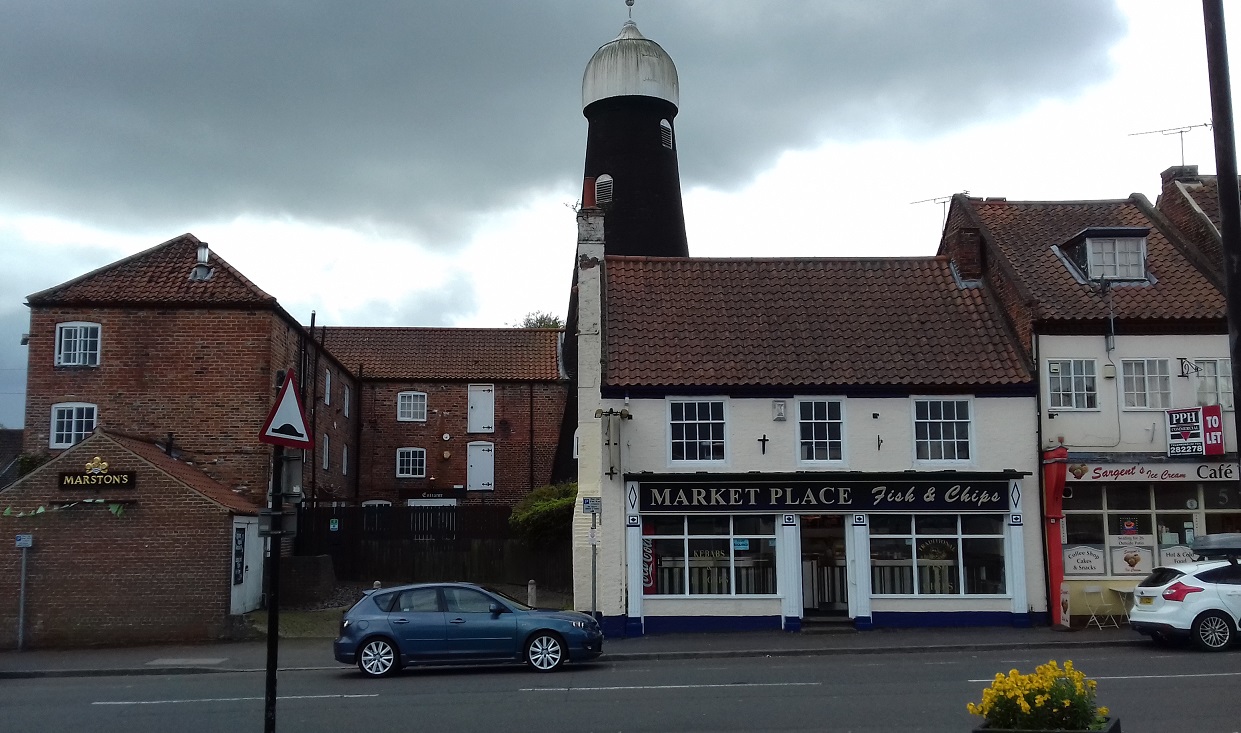
The main map covers the north of the town and extends northward to the River Humber. Features include railway with station, Rope Works, numerous Brick Works (some with tramways), The Hall, Whiting Works, Barton Haven, St Chad's church, Bank Mills, Barton Waterside, Chemical Works, Fleetgate, West Field Brick Works, Marsh House, etc.
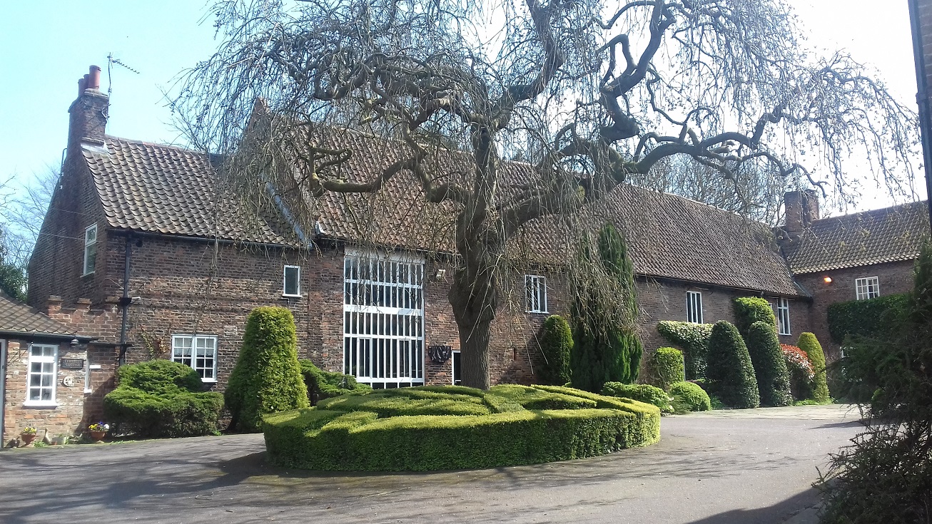
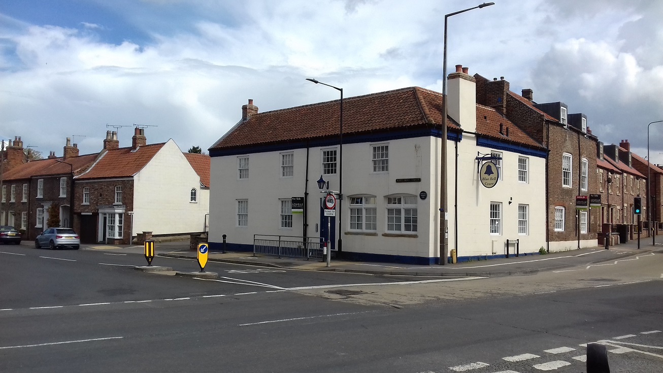
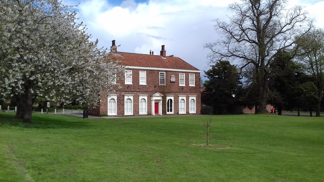
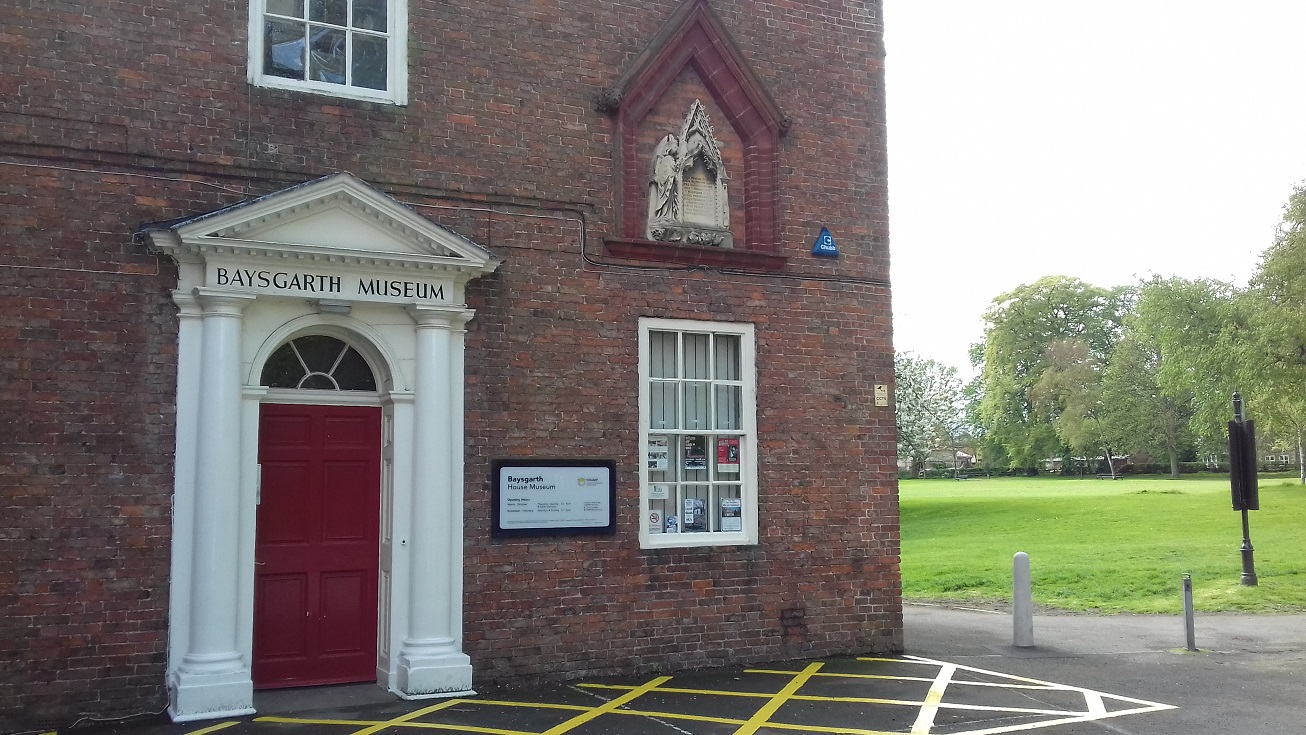
On the reverse is a large section of adjacent sheet 7.09, extending coverage southward to include the town centre. Features here include Baysgarth, Glebe House, Bardney Hall, Mount House, St Peter's church, St Mary's church, cycle works, Providence House, Market Place, Burgate etc
Further information:
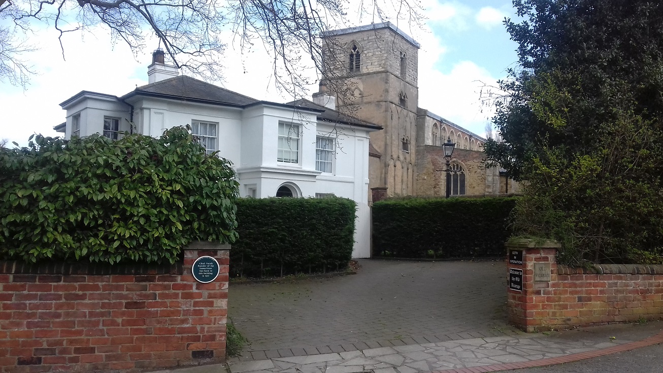
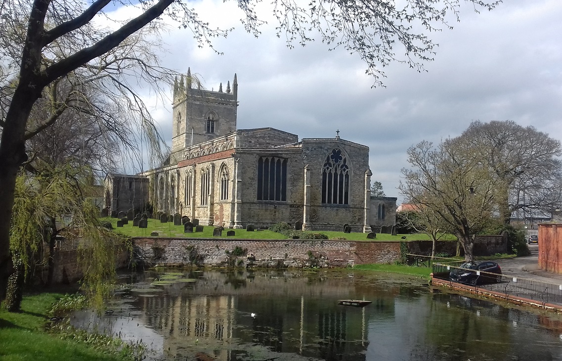
Barton upon Humber, as a major crossing point for the Humber, was once the largest town in north Lincolnshire. The opening of the railway and the ferry crossing at New Holland ended this role, but it remained an important town for rope-making, cycle manufacture and especially brick-making. Its medieval origins are clear from the two fine churches, but the town centre is more Georgian in character. Today the great Humber Bridge looms over the Waterside area of the town.
 .
.
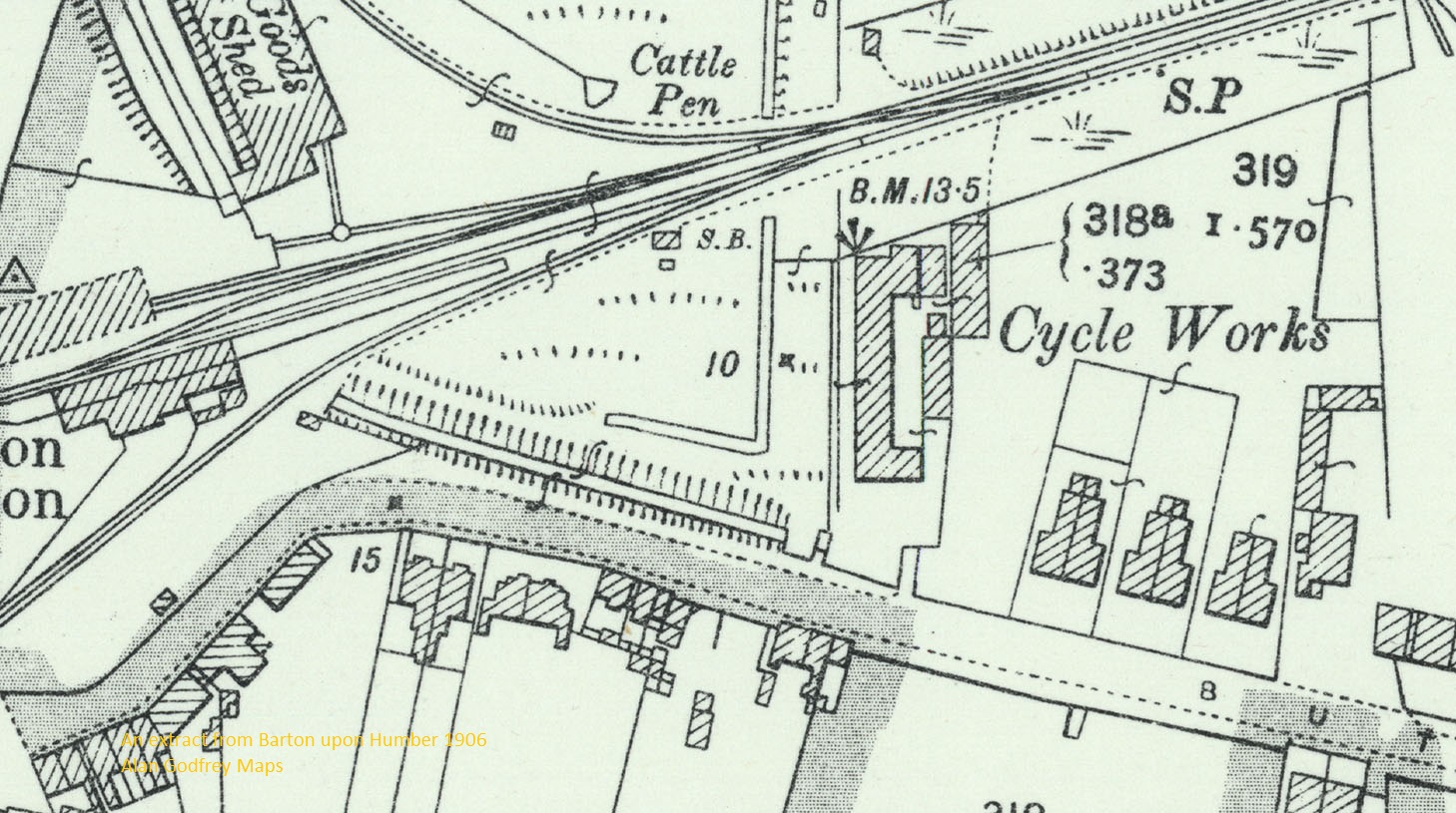
"The station yard included a siding to the yard of J W Briggs, a brick and tile manufacturer, and that company’s literature bore a somewhat fanciful ‘bird’s eye view’ drawing of a locomotive hauled train on that siding with quite sizeable ships on the river beside it. Briggs was one of many Barton brick firms to have a horse-drawn narrow-gauge railway, shown here in plot 248. By the 1880s this had been extended beneath the main line to work fresh supplies of clay in plot 320, but the bridge or short tunnel beneath the railway was closed and filled in in 1921. Several other short narrow-gauge lines can be seen across the map, mostly to a 2ft gauge and serving the brick companies’ clay pits. Several were added after the 1st World War, with one surviving until the end of the 20th century, running on rickety track beneath the Humber Bridge. Mr Bott of Baysgarth House also got in the act, installing a miniature railway around his lawn."