
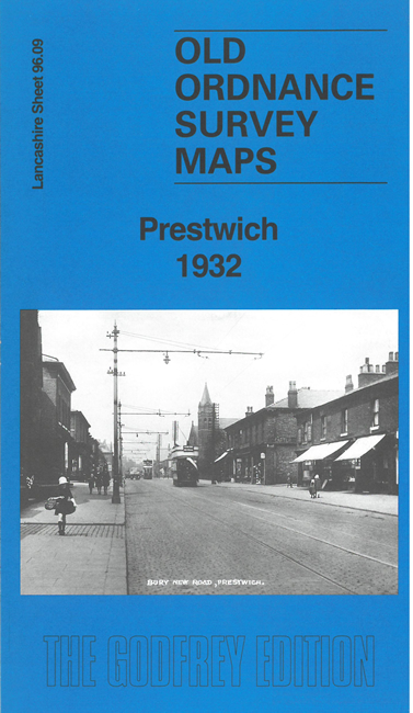
 Here are the details of maps for Prestwich:
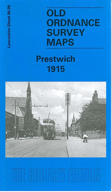

We have published two versions of this map, showing how the area changed over the years. Each has a specially written introduction to the history of the area.
The maps give very good coverage of Prestwich. The Bury New Road runs N-S through the map and features include St Mary's Church, railway with station, County Mental Hospital, Hospital Annexe, Waterdale Dye Works, Clough Bleach & Dye Works, Mental Hospital Farm and Cottages, The Park, tramways, etc.
The map links up with Lancashire Sheets 96.05 Whitefield to the north, 95.12 Clifton to the west, 96.10 Heaton Park to the east and 96.13 Rainsough to the south.