
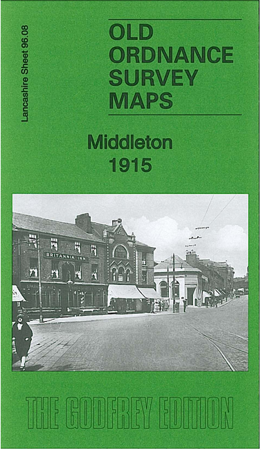
 Here are the details of the map for Middleton:
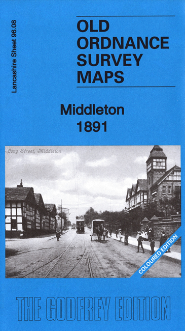


We have published two versions of this busy map. The 1891 version is in full colour, taken from the lovely OS 1st edition handcoloured map.
The maps cover the centre of Middleton and the Middleton Junction area. Features include Middleton Market Place and town centre, St Leonard's church (at top of map), St Michael's church, Warwick Mill, Albany Mills, Brookside Mill, Lodge Mill, Tonge Mill, Times Mill, Neva Mills, Townley Mill, Cromer Mill, Soudan Mills, part of Alkrington Garden Village, Middleton & Thornham Cemetery, Tonge Hall, tramways and depot, Rochdale Canal, railways with Middleton Junction and Middleton stations, Greengate Brewery, Drummer Hill, preserve works, St Gabriel's church, numerous mills at Middleton Junction, etc.
The map links up with sheets 96.07 Middleton West to the west, 96.04 Middleton North to the north, 97.05 Chadderton to the east.