
 Here are the details of maps for Bury (East):

This detailed map covers the area east of Bury.
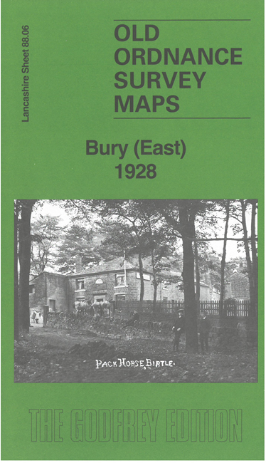
Features include Jericho, Woodgate Hill, Castle Hill, Fern Grove, Fern Grove Mills, Fairfield, Smethurst Hall Brickworks, Gallows Hill, Bury Union Institution (workhouse), Tack Lee Bleach Works, Birtle Bleach Works, tramways, Higher Moulding, Birtle Moor, etc.
The map links up with Lancashire Sheets 88.05 Bury North to the west, 88.07 Heywood North to the east, 88.10 Heap Bridge to the south.