
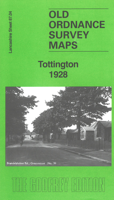
 Here are the details of maps for Tottington:
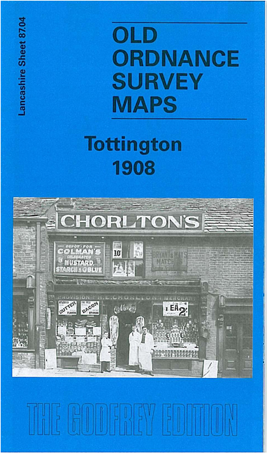

We have published two versions of this map, showing how the area changed across the years.
The maps cover part of Tottington, NW of Bury, and link up with our group of Bury maps. The River Irwell runs up the east side of the map, with a section of the LYR railway, incl Olive's Siding. On the west side of the map is the company's Tottington Branch, incl Tottington and Green Mount stations.
Features include Tottington Mill, Spring Mill, St Anne's church, Quakers Field, Brookhouse Mill, Greenmount, Railway Foundry, Tottington Branch railway, Stormer Hill Works, Knowles Siding, Brandlesholme House and Farms, River Irwell, Wood Road, cotton mill, etc. The 1928 map includes a 1918 directory of Tottington.
The map links up with Lancashire Sheets 79.16 Holcombe Brook to the north, 87.08 Bury NW to the south.