
 Here are the details of maps for Rochdale North:

This detailed map covers the area north and east of Rochdale, including Smallbridge, Howarth Cross, Buckley, Syke, and Fieldhous Mills.
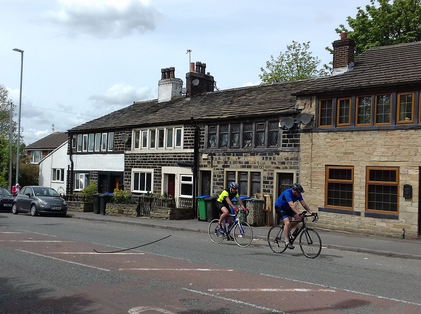
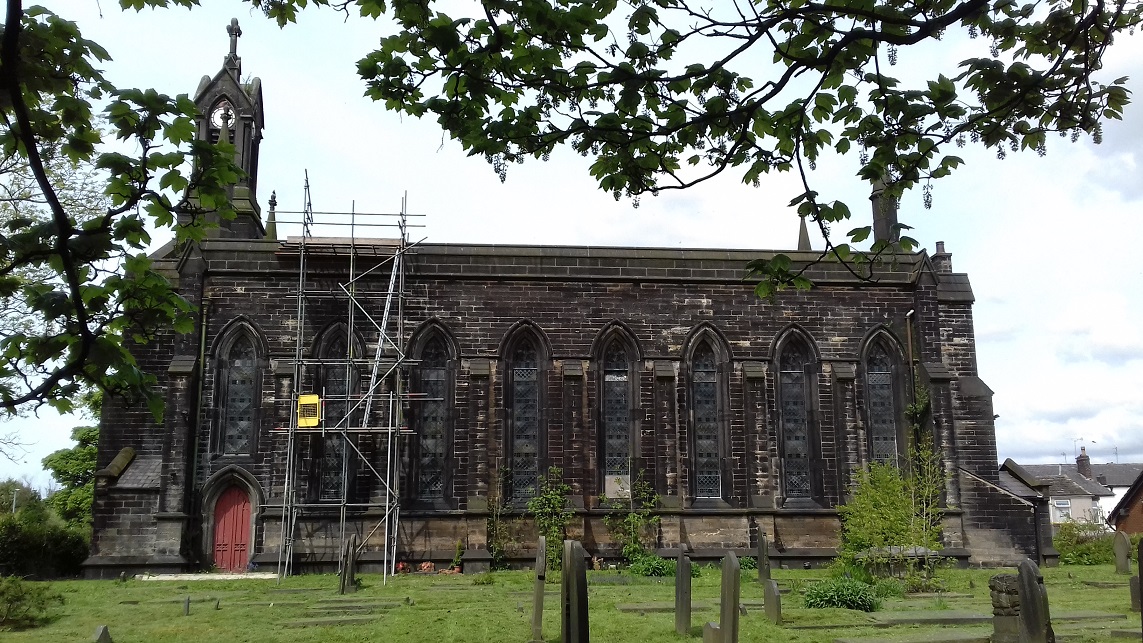
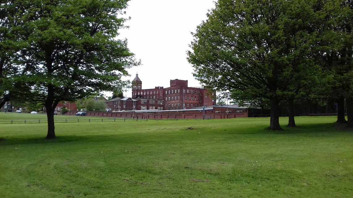
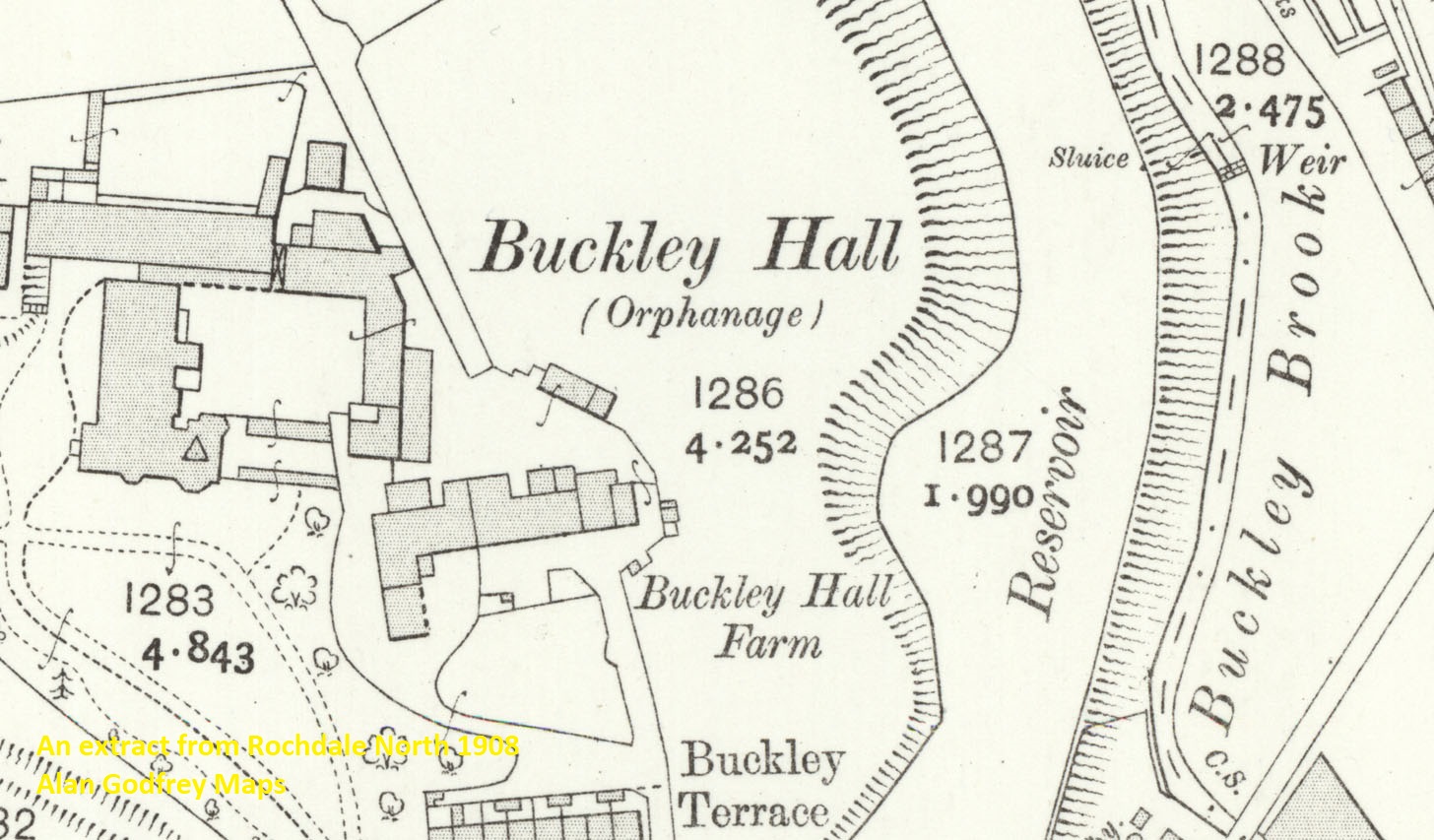
Features include Cronkeyshaw Common, Fieldhouse Mills, Green Bank, Rose Hill, One Ash, Foxholes, Polly Green, Nook Mill, All Saints church, Hamer Hall Cottages, Eclipse Mill, Park Mill, Buckley Mills, Buckley Hall orphanage, Low Mills, stretch of Facit Branch, tramways, Dale Mill, Arkwright Mill, Low Hill Mill, Great Howarth, Ashbrook Hey Dye Works, St John's church Smallbridge, Dobwheel Mill, Greenfield Mill, Watch Hall Mill, Howarth Cross Mill, Green Grove Mill, Holme Mill, etc. We include a 1918 directory of Smallbridge on the reverse.
The map links up with sheet 81.14 Smithy Bridge to the east and 89.01 Rochdale to the south.
Further information:
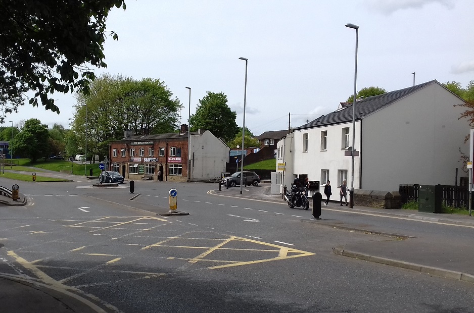
This map covers the northern part of Rochdale, including the celebrated Fieldhouse Mills, developed by the Brights, a family of Quakers, after Jacob Bright had set up a Green Bank Mill in 1909. Of his children John Bright would become famous as one of the great orators of his age, and a founder of the Anti Corn Law League; Jacob Bright jnr would be another campaigning MP, and Priscilla would also be involved in politics, especially the suffrage movement. Further east the map covers the mill and mining village of Smallbridge, later partly destroyed by a brutal dual carriageway, while major houses would include Buckley Hall, which became an orphanage in 1888 and would later be rebuilt as a prison. There are also two good Anglican churches, St John's Smallbridge and All Saints' Hamer, both now closed and facing uncertain futures, while tramways and a stretch of the Facit Branch mean there is also strong transport history.
"Jacob Bright retired in 1839 and the development of the mill was taken on by John and a younger brother, Jacob Bright (1821-99), who was himself an MP for various Manchester constituencies for most of the period 1867-95 and who also supported the anti-war cause. He was also a believer in female suffrage and it was at his first election, in 1867, that a woman, Lilly Maxwell, voted, citing her right as a property owner. She voted for Bright and this led to a test case in which her vote was declared invalid; alas, the episode led to no fame and fortune for Ms Maxwell, who died in the workhouse nine years later. A sister of John and Jacob, Priscilla Bright (1815-1906), was also strongly involved politically, married an Edinburgh MP, Duncan Maclaren, worked closely with him on his political campaigns and would later become President of the Edinburgh Women’s Suffrage Society."