Old Ordnance Survey Maps of Lancashire

  • These detailed maps normally cover an area of about one and a half miles by one mile. Each map includes an introduction.
  • They are available through our On-line Mapshop

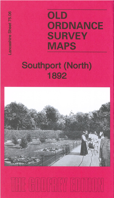
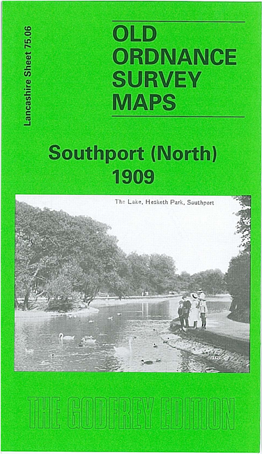
  • Here are the details of maps for Southport (N):

  • Lancashire 75.06a Southport (North) 1892 - published 2020; intro by Kay Parrott. ISBN.978-1-78721-372-2
  • Lancashire 75.06b Southport (North) 1909 - published 1996; intro by Nick Burton. ISBN.978-0-85054-781-8

    We have published two versions of this map, showing how the area changed across the years. The maps cover the northern part of Southport, with coverage extending from Hesketh Park northward to Lytham Road, and from Lathom Road eastward to Manor Road.

    Features include Hesketh Golf Links, Marshside, Homeopathic cottage hospital, Chase Heys, Emmanuel church, Bank Nook, tramways, Rockley House Hydro, stretch of Southport-Preston railway, etc. Hesketh Park is the most dominant feature and there are many detached villas.

    The map links up with Lancashire Sheets 75.10 Southport East to the south.


  • Follow this link for a complete list of our Liverpool or Sefton maps.
  • You can order maps direct from our On-line Mapshop. For other information and prices, and other areas, go to The Index Page.
  • Maps in the Godfrey Edition are taken from the 25 inch to the mile map and reduced to about 15 inches to the mile. For a full list of maps for the North West, return to the North West page.
    The Godfrey Edition / sales@alangodfreymaps.co.uk / 18 November 2020