
 Here are the details of maps for Helmshore:

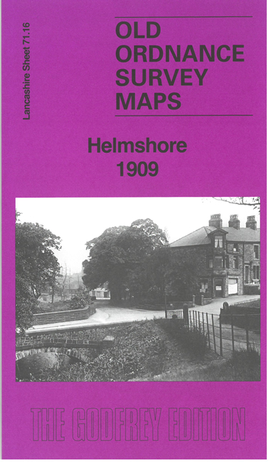
This detailed map covers Helmshore and the area eastward to Ewood Bridge and Bent Gate, incl the southern part of Haslingden.
Features include railway with Helmshore station, Holden Wood, Albion Mill, Sunny Bank Mill, Middle Mill, Bleach Works, Holme Spring Mill, Bridge End, Gregory Fold, Helmcroft, Private Lane Soap Works, Victoria Park, Syke Side, Syke Side Mill, Syke Mill, Bent Gate, quarries, Ewood Bridge Mill, etc
The map links up with sheets 71.12 Haslingden to the north and 79.04 Irwell Vale to the south.