
 Here are the details of maps for Chipping Sodbury:

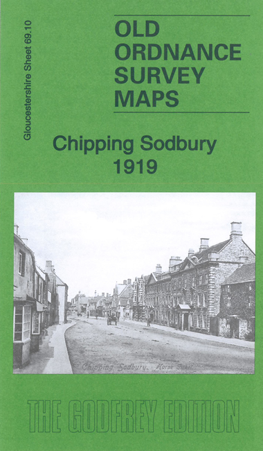
This detailed map gives good coverage of the small Gloucestershire town of Chipping Sodbury.
Features include town centre with individual buidlings neatly shown, railway (but not station), Poor Law Institution, St John's church, High Street, Lilliput Court, quarries, Raysfield Farm, Stanshawe's Court, etc.
An 1894 Commercial directory is included on the reverse along with a specially written introduction to the history of the town.
Maps in the Godfrey Edition are taken from the 25 inch to the mile map and reduced to about 15 inches to the mile. For a full list of maps for England, return to the England page.
Alan Godfrey Maps, Prospect Business Park, Leadgate, Consett, Co Durham, DH8 7PW / sales@alangodfreymaps.co.uk / 11 December 2020