
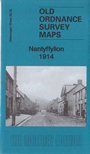
 Here are the details of maps for Nantyffyllon:

This detailed map covers the Nantyffyllon area, immediately north of Maesteg, with coverage stretching northward towards Spelter.
Features include Coegnant Colliery, North's Navigation Railway, GWR Bridgend and Abergwynfi railway, Coegnant Branch, Nantyffyllon station, Dyffryn; numerous old levels, trial levels, tramway routes and quarries; Twmpath-mawr, chapels. Away from the built-up area, the map has a vast number of old workings.
The map links up with sheet 26.09 Maesteg to the south.