Old Ordnance Survey Maps of Fermanagh

  • These detailed maps normally cover an area of about one and a half miles by one mile. Each map includes an introduction.

  • Here are the details of maps for Enniskillen:

  • Fermanagh 22.09 Enniskillen West 1936 - published 2021; intro by Alan Godfrey. ISBN.978-1-78721-461-3
  • Fermanagh 22.10 Enniskillen East 1936 - published 2021; intro by Alan Godfrey. ISBN.978-1-78721-380-7

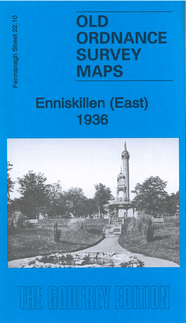
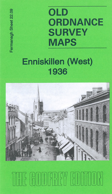
    We have published two maps for Enniskillen. These link up to provide excellent coverage of this island town.

    Features on the Enniskillen West map include St Macartan's Cathedral, St Michael's RC church, High Street, Church Street, Darling Street, Constabulary Depot, McArthur Lecture Hall, Castle, West Bridge, Windmill Hill, Redoubt Barracks Hospital, Willoughby House, Portora Royal School, Rossorry Church, Kinarla Lough, Portora Castle, Derrygore, etc.

    Features on the Enniskillen East map include East Bridge, Convent, Fort Hill, Fair Green, Court House, Union Workhouse, Race Course Lough, Enniskillen Secondary School, Prospect Hill, County Infirmary, railways with station, Chanterhill, Lackaghboy House etc


  • Follow this link for a complete list of our Ireland maps.
  • You can order maps direct from our On-line Mapshop. For other information and prices, and other areas, go to The Index Page.
  • Maps in the Godfrey Edition are taken from the 25 inch to the mile map and reduced to about 15 inches to the mile. For a full list of maps for England, return to the England page.
    Alan Godfrey Maps, Prospect Business Park, Leadgate, Consett, Co Durham, DH8 7PW / sales@alangodfreymaps.co.uk / 16 July 2021