Old Ordnance Survey Maps of Flintshire

  • These detailed maps normally cover an area of about one and a half miles by one mile. Each map includes an introduction.
  • They are available through our On-line Mapshop

  • Here are the details of maps for Hawarden:

  • Flintshire Sheet 14.03 Hawarden 19090 - published 2026; intro by Kay Parrott. ISBN.978-1-78721-977-9

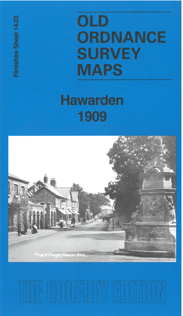
    This detailed map gives good coverage of the small town of Hawarden, with cover extending north to Little Mancot and The Moor.

    Features include Hawarden Castle, Hawarden House, Hawarden Hayes, St Denniol's Church, St Denniol's Library, Trueman's Hill, Great Central Railway with Hawarden station, The Moor, Little Mancot, Aston Bank, etc.

    On the reverse we include an extract from the 1871 six-inch map covering the Hawarden area, including two old colliery lines, with a specially written introduction to the history of Hawarden.


  • Follow this link for a complete list of our Flintshire maps. For other information and prices, and other areas, go to The Index Page.
  • Maps in the Godfrey Edition are taken from the 25 inch to the mile map and reduced to about 15 inches to the mile. For a full list of maps for Wales, return to the Wales page.
    The Godfrey Edition / sales@alangodfreymaps.co.uk / 26 June 2026