
 Here are the details of maps for Tilbury:

The following map is on different sheetlines:
Sheets 95.11 and 95.12 link up with each other, providing excellent coverage of this Essex riverside town, its docks, Riverside station and part of the fledgling town. Tony Kirby provides a thorough history of the area for each map, with discussion of how they developed. These are from the OS 'New Series' but sheet 89.01 is from an earlier Essex series and on different sheetlines.
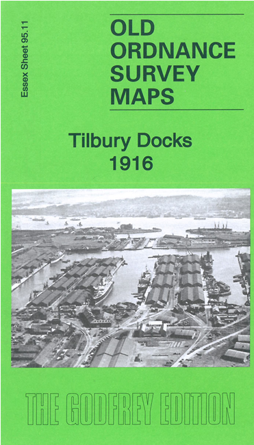
Sheet 95.11 is largely concerned with Tilbury Docks, shown in detail with railways, jetties and even mooring posts.A plan of the docks in the 1920s is included on the reverse. A fragment of the Northfleet riverside is also shown.
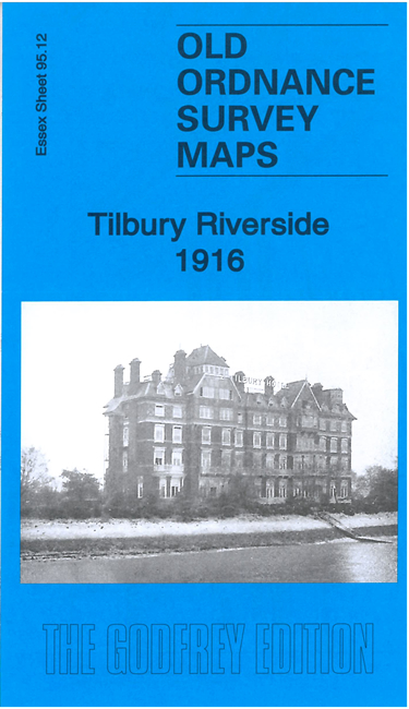
Sheet 95.12 has Tilbury Riverside station and jetty, with the railways lines and engine shed. Other features include Tilbury Hotel, the beginnings of Tilbury town, World's End Wharf etc. Tilbury Fort is shown in outline only for security reasons. On the reverse include a 1920s plan of the Passenger Landing Stage that was then being built.
Sheet 89.01, from an earlier series, shows the Riverside station, Tilbury Hotel and Tilbury Fort area. This is on different sheetlines so does not include the town but gives a fuller idea of the river. On the Kent side we have West Street, the LCDR pier, Clifton Baths, Town Pier and Royal Terrace Pier. Though the map does have a lot of water, mud and marshland it is a fascinating portrait of this Thames gateway, a reminder of Tilbury's days as a major passenger embarkation point, if only for a daytrip to Gravesend.
Here is an index grid for Thurrock and East London. It shows how the maps link up withe maps for Grays.
Maps in the Godfrey Edition are taken from the 25 inch to the mile map and reduced to about 15 inches to the mile. For a full list of maps for England, return to the England page.
Alan Godfrey Maps, Prospect Business Park, Leadgate, Consett, Co Durham, DH8 7PW / sales@alangodfreymaps.co.uk / 8 March 2023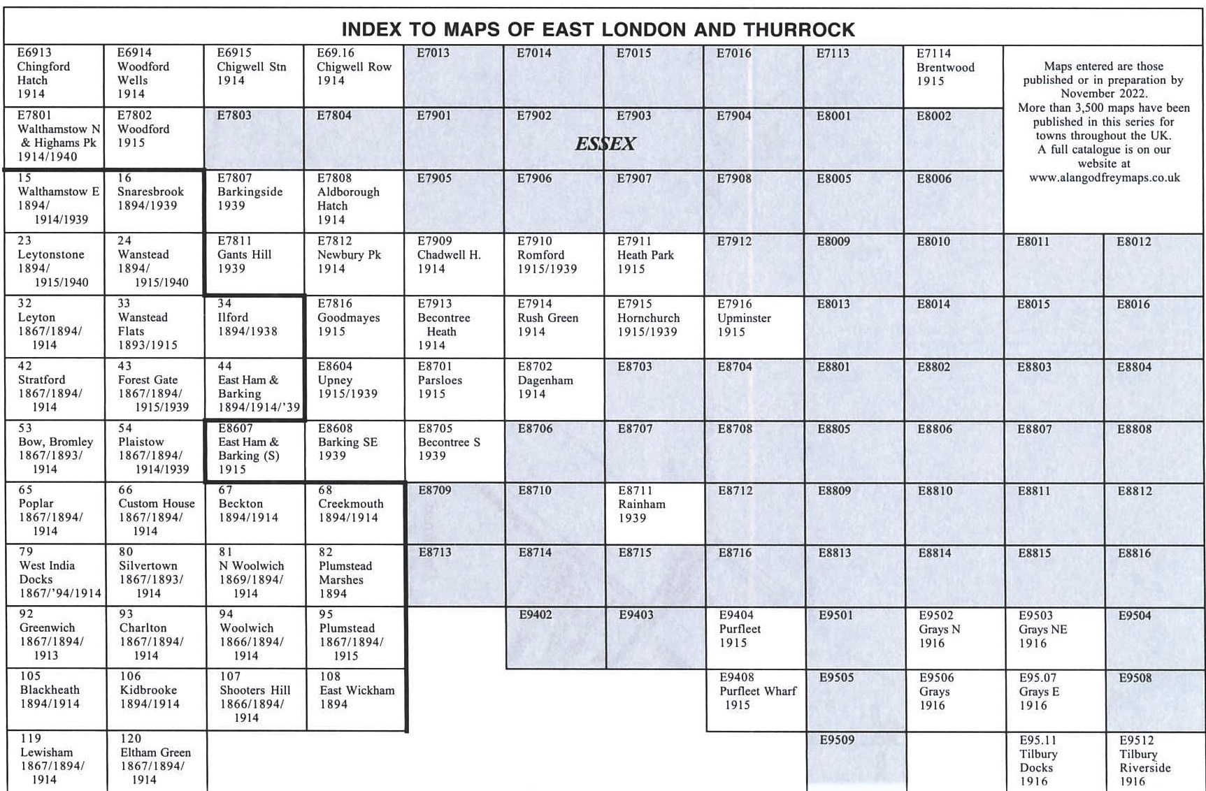