
 Here are the details of maps for Purfleet:

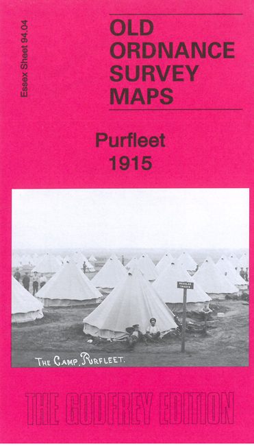
This detailed map covers Purfleet, then a garrison village, where major features are Purfleet Barracks and Purfleet Camp. Also shown are the railway with Purfleet station, Purfleet Rifle Range station, Purfleet House, Botany, Royal Hotel, Military Hospital, rifle ranges, chalk quarries and industrial tramways.
Tony Kirby provides an excellent history of the area, discussing its earlier days as a resort, and then how Purfleet Camp was established within weeks of the outbreak of World War 1.
The map links up with sheets 94.08 Purfleet Wharf to the south.
Maps in the Godfrey Edition are taken from the 25 inch to the mile map and reduced to about 15 inches to the mile. For a full list of maps for England, return to the England page.
Alan Godfrey Maps, Prospect Business Park, Leadgate, Consett, Co Durham, DH8 7PW / sales@alangodfreymaps.co.uk / 12 February 2022