Essex 87.11 Rainham 1939 - published 2022; intro by Tony Kirby. ISBN.978-1-78721-507-8 
This detailed map covers the Essex village of Rainham, which since 1965 has been in the London Borough of Havering.
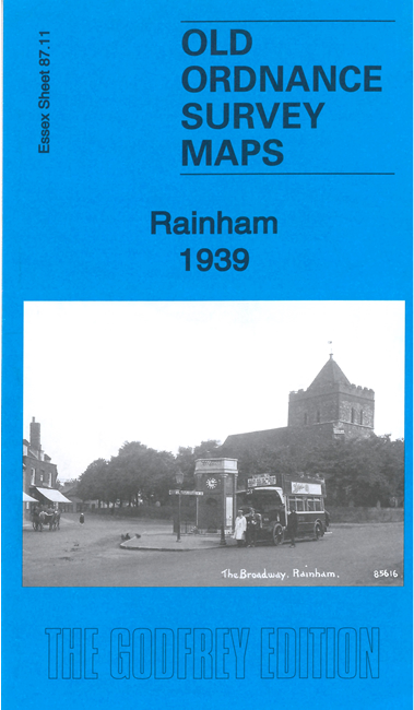
Features on the map include railway with Rainham station, Rainham Rifle Ranges, St Helen & St Giles church, Rainham Creek with wharves,
South Hall, East Hall, Landthorpe House, and some recent terraces and semi-detached houses as Rainham, still on the edge of the Essex countryside,
was developed for housing.
Follow this link for a list of our maps for Essex in outer London or here for Havering.
For other information and prices, and other areas, go to The Index Page.
Maps in the Godfrey Edition are taken from the 25 inch to the mile map and reduced to about 15 inches to the mile.
For a full list of maps for England, return to the England page.
Alan Godfrey Maps, Prospect Business Park, Leadgate, Consett, Co Durham, DH8 7PW / sales@alangodfreymaps.co.uk / 2 April 2022

 Here are the details of maps for Rainham: