
 Here are the details of maps for Barkingside:

This detailed map covers the village of Barkingside, north of Ilford. It covers an area from Peel Drive eastward to Tanners Lane and southward to Kenwood Gardens.
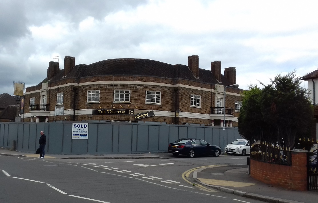
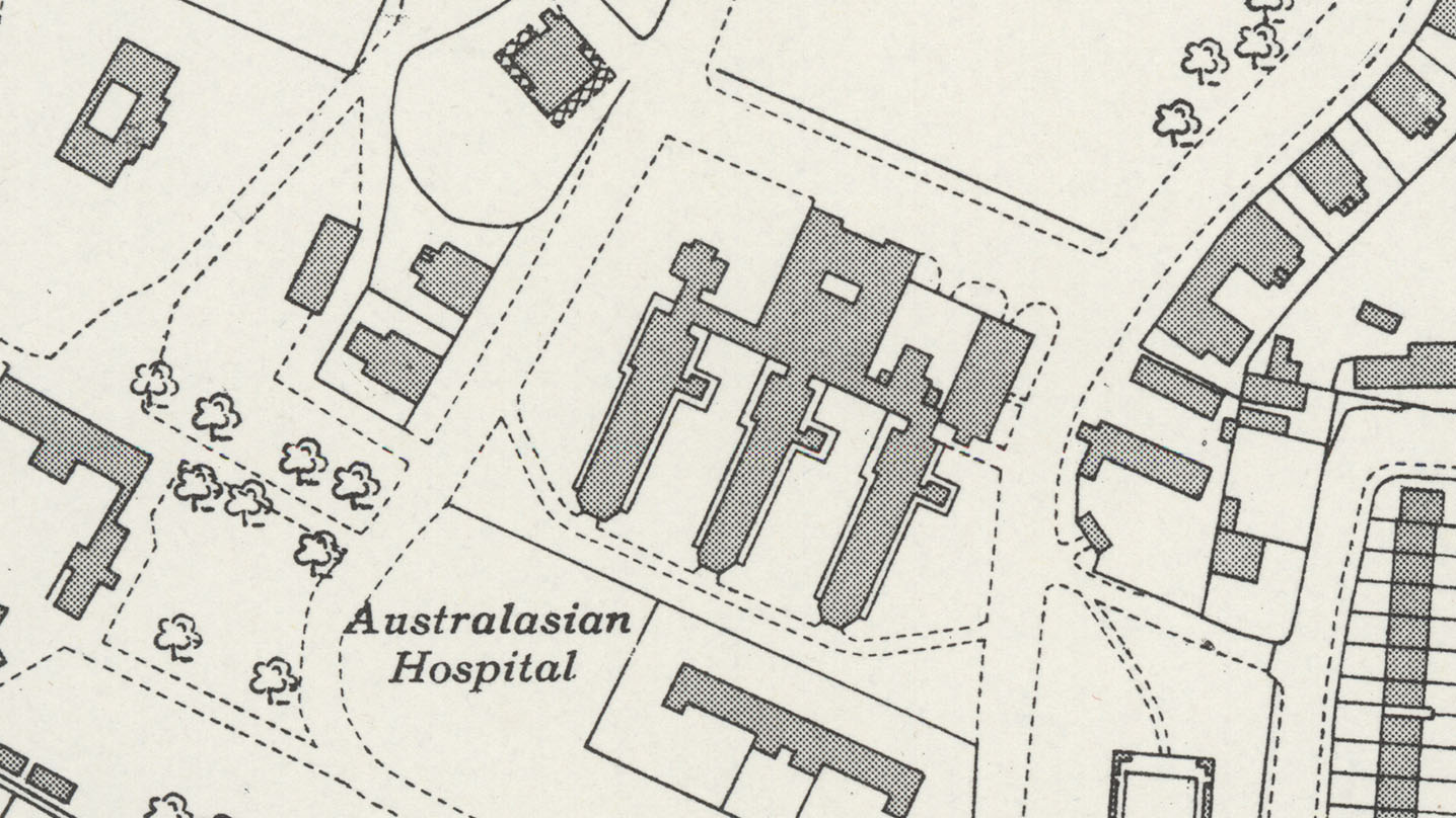
Features include part of Barnardo's Girls Village Home, Gaysham Hall, Great Gearies, Little Gearies, Holy Trinity church, Dr Johnson pub, Clayhall Park etc. We include Barkingside directories for 1908 and 1922 on the reverse.
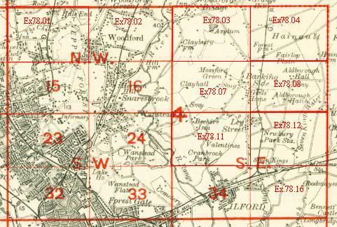
An index map showing the areas covered by this and adjacent maps is available here. The map links up with London Sheets 16 Snaresbrook to the west, Essex sheet 78.08 Aldborough Hatch to the east and 78.11 Gants Hill to the south.
Further information:
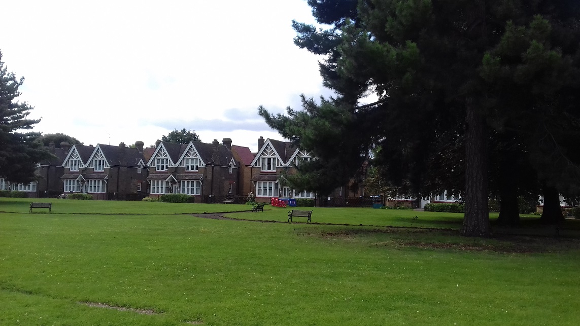
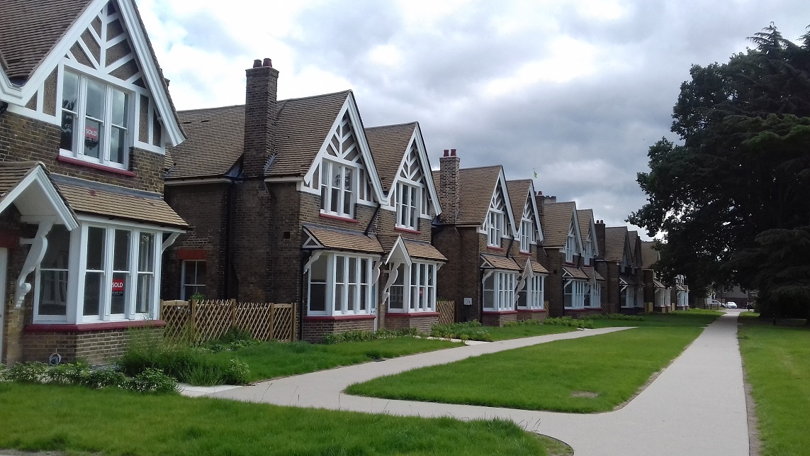
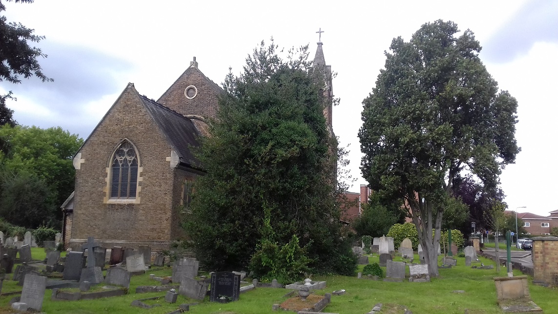
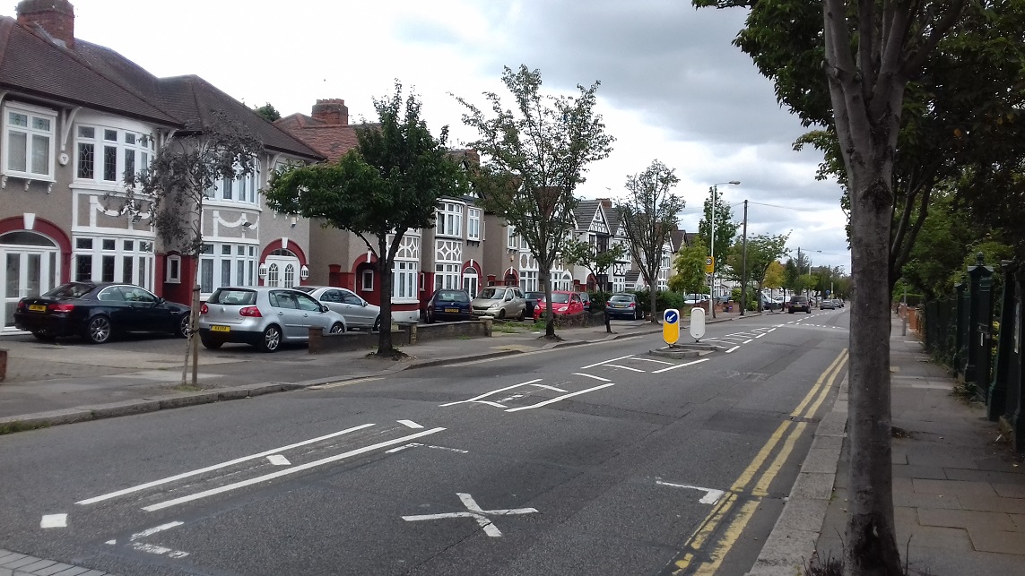
Barkingside was described in 1922 as 'a large and scatterd village and ecclesiastical parish, formed April 9 1841 out of the ecclesiastical parish of Great Ilford'. The area was still almost entirely rural but within a few years had been large built up, with streets of semi-detached houses or short terraces. By 1939 trolley buses had already replaced the trams, and just fragments of earlier history remained, including Little Gearies, Great Gearies, and Gaysham Hall. There is, however, much to discuss in our introduction, which gives a concise history of the area. Of especial interest is the Girls' Village Home, the celebrated Dr Barnardo's Homes opened in 1876 with the first sixteen Cottage Homes.
 .
.
"Memorials include a marble tablet in memory of ‘Lieut Harold Charrington RN, of Her Majesty’s Ship Euryalus’, one of a group ‘killed by the Bedouin Arabs, in the desert of Mount Sinai, about the 11th August 1882’, whose bodies were interred in the crypt of St Paul’s Cathedral. Harold was a son of Spencer Charrington (1818-1904), who lived at Great Gearies at the time of his son’s death, became MP for Mile End in 1885 and chairman of Charrington Brewery in 1888, though he appears to have left the area by then, perhaps after his wife’s death in 1883. The church had its own grave yard, but this could scarcely cope with the population growth of the 1920s and ‘30s, and Barkingside Cemetery was opened, the first burial being on 1st February 1923. With the church so near there was scarcely a need for the usual chapels, and none were built, the Hall being basically a waiting room. The cemetery quickly filled up and a west section, Barkingside Garden of Rest, was opened on the other side of Longwood Gardens (in the area shown here as empty) in 1954. This too is now full."