Old Ordnance Survey Maps of Darlington

  • These detailed maps normally cover an area of about one and a half miles by one mile. Each map includes an introduction.
  • They are available through our On-line Mapshop

  • Here are the details of maps for Hurworth-on-Tees:

  • Co Durham 57.02 Hurworth-on-Tees & Croft 1913 - published 2020; intro by Alan Godfrey. ISBN.978-78721-359-3

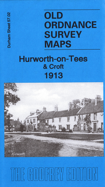
    This detailed map is double-sided for maximum coverage. The main map covers the villages of Hurworth-on-Tees and Croft, on the Yorkshire bank of the Tees. Features include most of Hurworth village, All Saints church, Hurworth House, The Green, The Hall, Old Hall, Hurworth Grange, Hurworth Place, railway with Croft Spa station, Station Hotel, Croft Depot Branch with coal depot, Croft House, St Peter's church Croft, Croft Spa Hotel, Croft Hall, Croft Bridge etc.

    On the reverse we include part of adjacent sheet 55.14 showing the railways northward, to their join with sheet 55.10 to the north.

    The map links up with Sheet 55.10 Darlington South to the north.


  • Follow this link for a complete list of our Stockton & Darlington area maps.
  • You can order maps direct from our On-line Mapshop. For other information and prices, and other areas, go to The Index Page.
  • Maps in the Godfrey Edition are taken from the 25 inch to the mile map and reduced to about 15 inches to the mile. For a full list of maps for the North East, return to the North East page.
    The Godfrey Edition / sales@alangodfreymaps.co.uk / 23 October 2020