Old Ordnance Survey Maps of Stockton on Tees

  • These detailed maps normally cover an area of about one and a half miles by one mile. Each map includes an introduction.
  • They are available through our On-line Mapshop

  • Here are the details of maps for Egglescliffe and Yarm:

  • Co Durham Sheet 56.11 Yarm & Egglescliffe 1913 - published 2020; intro by Alan Godfrey. ISBN.978-1-78721-371-5

    This very detailed map is double-sided for maximum coverage.

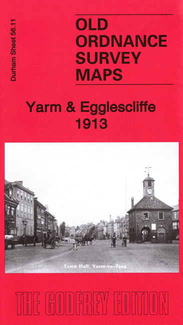
    The main map covers the village of Egglescliffe and the northern part of Yarm. Features include, at Egglescliffe, St Mary's church, Old Hall, railway with Yarm station, Highfield, Egglescliffe Tannery, Vinegar Brewery, Blue Bell Inn. Yarm features include St Mary Magdalene church, part of High Street, Town Hall.

    On the reverse we include part of adjacent sheet 56.15 covering the southern part of Yarm town. Features include The Friarage, Atlas Skinnery, St Mary's RC church, Grammar School, southern part of High Street, etc.


  • Follow this link for a complete list of our Stockton & Darlington area maps.
  • You can order maps direct from our On-line Mapshop. For other information and prices, and other areas, go to The Index Page.
  • Maps in the Godfrey Edition are taken from the 25 inch to the mile map and reduced to about 15 inches to the mile. For a full list of maps for the North East, return to the North East page.
    The Godfrey Edition / sales@alangodfreymaps.co.uk / 23 October 2020