Durham 42.09 West Auckland 1915 - published 2021; intro by Alan Godfrey. ISBN.978-1-78721-440-8 
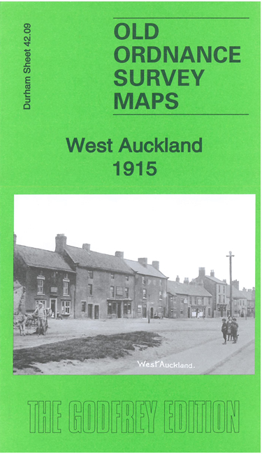
The village of West Auckland has a proud history, as winners of the first football 'World Cup', the giving of its name to New Zealand's largest city,
and strong connections with the Stockton & Darlington Railway.
Features on the map include The Green, railways with West Auckland station, West Auckland Colliery, West Auckland Brewery, St Helen's church (and part of St Helen's Auckland),
Blacksmith's Arms, Old Hall, Fleece Hotel, etc.
Follow this link for a complete list of our Durham maps.
You can order maps direct from our On-line Mapshop.
For other information and prices, and other areas, go to The Index Page.
Maps in the Godfrey Edition are taken from the 25 inch to the mile map and reduced to about 15 inches to the mile.
For a full list of maps for England, return to the England page.
Alan Godfrey Maps, Prospect Business Park, Leadgate, Consett, Co Durham, DH8 7PW / sales@alangodfreymaps.co.uk / 16 July 2021

 Here are the details of maps for West Auckland: