Durham Sheet 42.04 Leasingthorne, Leeholme & Coundon 1915 - published 2022; intro by Alan Godfrey. ISBN.978-1-78721-559-7
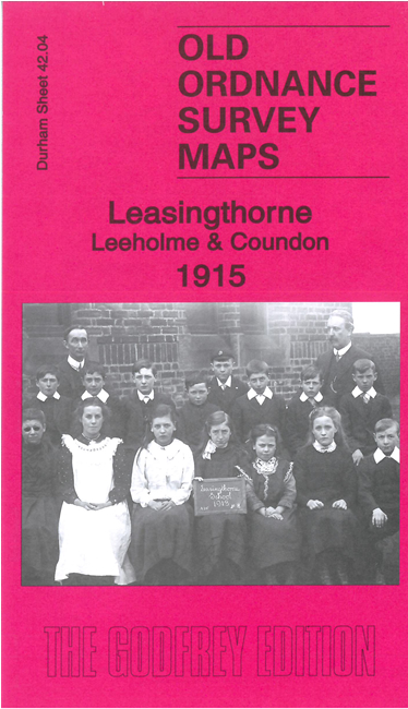
This detailed map covers Leasingthorne, a 'Category D' village that has largely been demolished, Leeholme and most of Coundon.
Features include Leasingthorne Colliery, railway including Coundon Branch, Leasingthorne village, Tottenham, Leeholme, Coundon village, chapels, picture theatre etc
Follow this link for a complete list of our Durham maps.
For other information and prices, and other areas, go to The Index Page.
Maps in the Godfrey Edition are taken from the 25 inch to the mile map and reduced to about 15 inches to the mile.
For a full list of maps for England, return to the England page.
Alan Godfrey Maps, Prospect Business Park, Leadgate, Consett, Co Durham, DH8 7PW / sales@alangodfreymaps.co.uk / 10 August 2022

 Here are the details of maps for Coundon and Leasingthorne: