Durham Sheet 35.03 Coxhoe 1915 - published 2022; intro by Alan Godfrey. ISBN.978-1-78721-547-4 
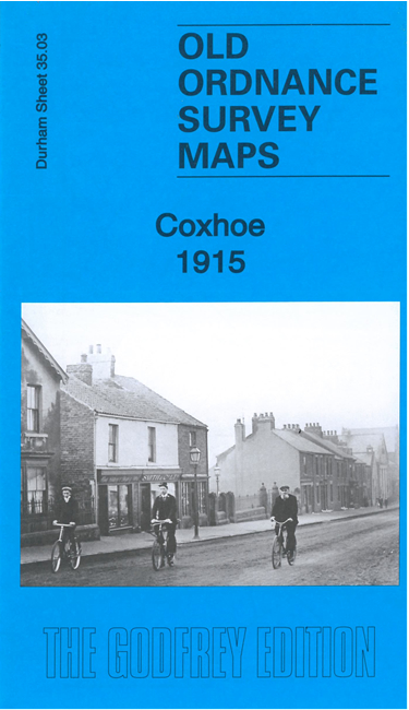
This detailed map covers the former colliery village of Coxhoe.
Most of the village is covered and features include Steetley Lime Works, Coxhoe Colliery (Disused), Coxhoe Bank Quarry, St Mary's church, chapels,
Coxhoe Branch Railway and mineral lines, Thinford Brickworks, Blackgate etc. The map also includes Coxhoe Hall, birthplace of the poet Elizabeth Barrett Browning.
Follow this link for a complete list of our Durham maps.
For other information and prices, and other areas, go to The Index Page.
Maps in the Godfrey Edition are taken from the 25 inch to the mile map and reduced to about 15 inches to the mile.
For a full list of maps for England, return to the England page.
Alan Godfrey Maps, Prospect Business Park, Leadgate, Consett, Co Durham, DH8 7PW / sales@alangodfreymaps.co.uk / 13 June 2022

 Here are the details of maps for Coxhoe: