Old Ordnance Survey Maps of County Durham

  • These detailed maps normally cover an area of about one and a half miles by one mile. Each map includes an introduction.
  • They are available through our On-line Mapshop

  • Here are the details of maps for Witton le Wear:

  • Durham 33.16 Witton le Wear & Witton Castle 1915 - published 2021; intro by Alan Godfrey. ISBN.978-1-78721-462-0

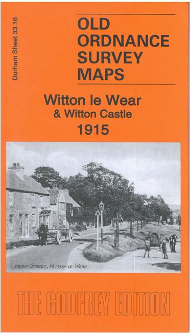
    This detailed map covers the village of Witton le Wear with coverage extending eastward to Wear Valley Junction and High Grange. The map is double-sided for maximum coverage.

    Features include railway with Witton le Wear and Wear Valley Junction stations, engine shed, Marshall Green Colliery, Witton Castle, West Witton, Marshall Green, St Philip & St James church, The Green, Witton Tower, Witton Hall, Witton Bridge etc.

  • The map links up with sheet 42.01 Witton Park to the SE.
  • Follow this link for a complete list of our Durham maps.
  • You can order maps direct from our On-line Mapshop. For other information and prices, and other areas, go to The Index Page.
  • Maps in the Godfrey Edition are taken from the 25 inch to the mile map and reduced to about 15 inches to the mile. For a full list of maps for England, return to the England page.
    Alan Godfrey Maps, Prospect Business Park, Leadgate, Consett, Co Durham, DH8 7PW / sales@alangodfreymaps.co.uk / 19 Nov 2021