
 Here are the details of maps for Doncaster Balby Road:

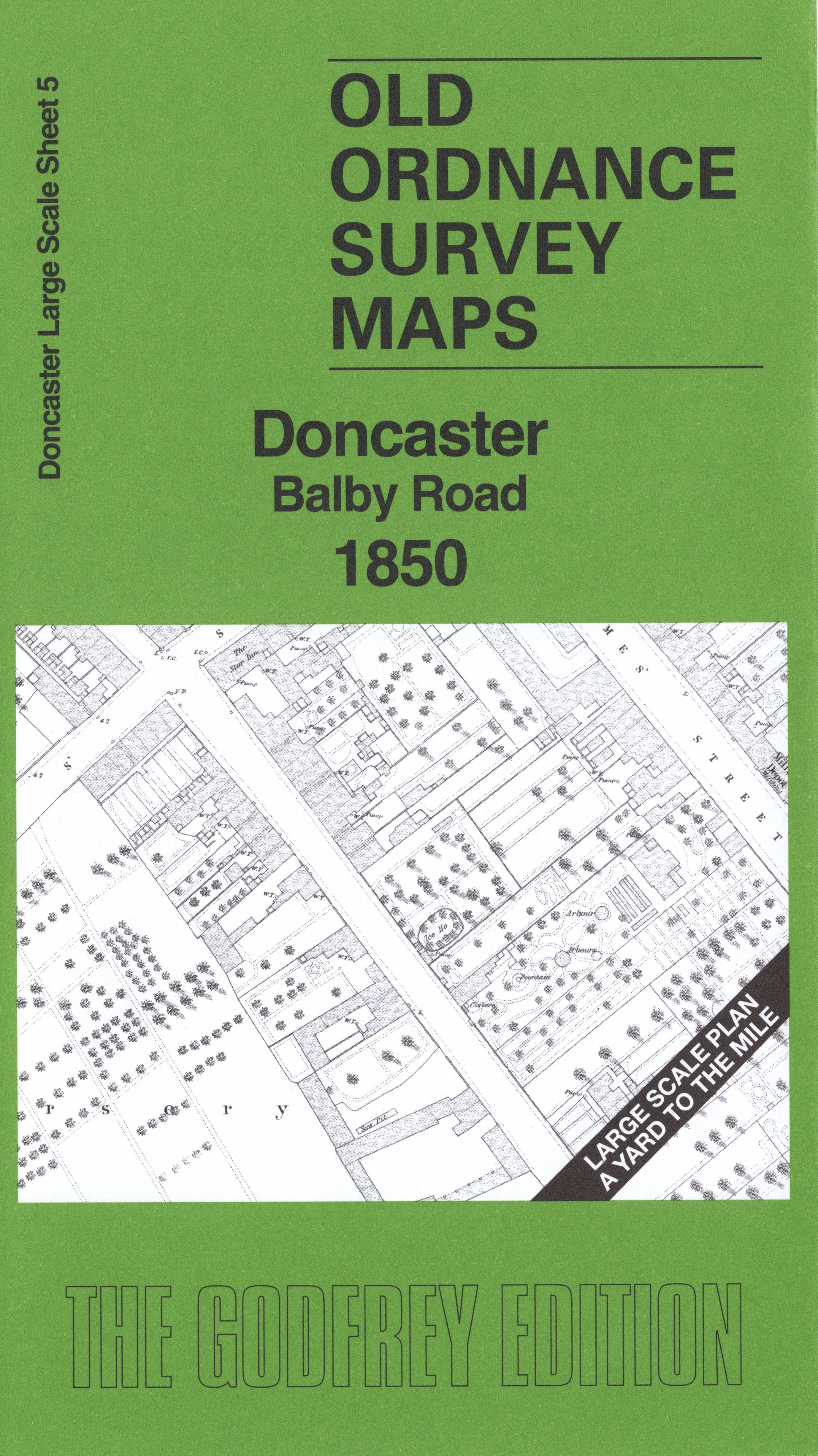
This very detailed map covers the southern part of central Doncaster. Features include Doncaster Union Workhouse, railways with junctions south of station, Seven Arch Bridge, Balby Road Bridge, St James Street etc.
On the reverse we include a 1:500 plan covering St James church, St John's Church, GNR Schools, etc in 1901, together with a 2,000 word introduction to the history of the area.
The map links up with sheets 3 Doncaster Town Centre to the north.