Old Ordnance Survey Maps of Doncaster


  • For the central area of Doncaster we are reprinting some of the very early Five-foot plans. Originally published at a scale of 1:1056 or 5 feet to the mile, we have reduced them in scale to 1:1760 or a Yard to the Mile. The maps, though covering quite a small area, are very detailed, even including the interiors of some public buildings, such as churches. For the urban historian they are perhaps the most fascinating maps ever published by the Ordnance Survey.
  • Each map includes a specially written introduction to the area. Maps can be purchased on our On-line Mapshop where further information about titles is given.

  • Here are the details of maps for Doncaster Town End:

  • Doncaster 1 Doncaster: Town End 1850 - published 2026; intro by Alan Godfrey. ISBN.978-1-78721-971-7

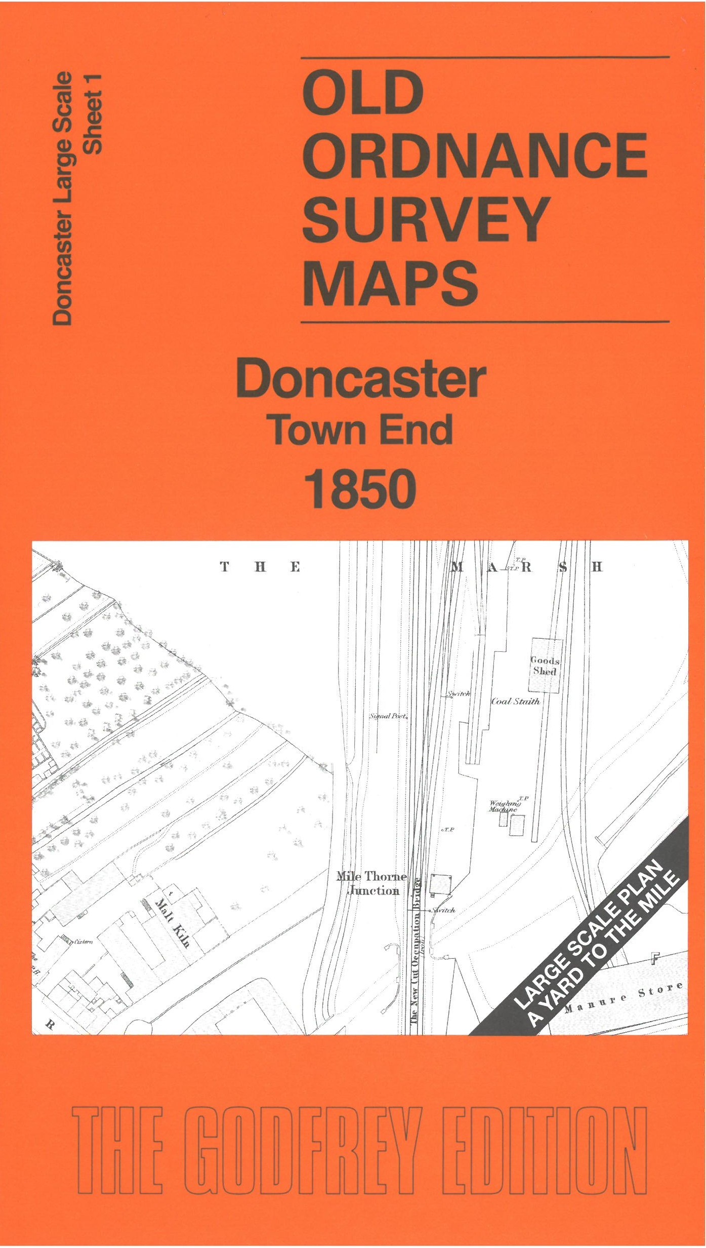
    This very detailed map covers the northern part of central Doncaster, with Marsh Gate and the road to Mill Bridge across the River Don at Town End. Features include turnpike roads, Mills, New Friars Bridge, the railways heading north out of Doncaster, tannery and other businesses around Low Fisher Gate.

    On the reverse we include a large section of the 1st edition six-inch map giving a broader view of the area, northward to Wheatley Hall.

    The map links up with sheet 3 Doncaster Town Centre to the south.


  • Follow this link for a complete list of our Doncaster Series maps. For other information and prices, and other areas, go to The Index Page.
  • This map is taken from the OS 5 foot plan map and reduced to a scale of A Yard to the Mile.' For a full list of maps for England, return to the England page.
    Alan Godfrey Maps, Prospect Business Park, Leadgate, Consett, Co Durham, DH8 7PW / sales@alangodfreymaps.co.uk / 9 April 2026