
 Here are the details of maps for Exeter south:

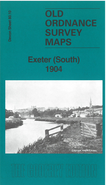
This map covers the area immediately south of Exeter, including St Thomas and The Freehold, and extending eastward to Topsham Barracks.
The many features include railway with St Thomas station, Exeter Canal, Basin Junction with section of Exeter Railway, Haven, GWR Basin Branch, Engineering Works, Gas Works, Marsh Barton, River Exe, St Leonard's church, Paper Mills, Deaf & Dumb Institution, Bromham's Farm, Salmonpool Bridge, Larkbeare, Buckerell Lodge, Topsham Barracks, Millbrook House etc.
On the reverse we include a good extract from six-inch map 80SW, giving extended coverage of the area, southward to Alphington and Matford Bridge. We also include a specially written introduction to the history of the area.
The map links up with sheet 80.06 Exeter to the north.