Old Ordnance Survey Maps of Devon

  • These detailed maps normally cover an area of about one and a half miles by one mile. Each map includes an introduction.
  • They are available through our On-line Mapshop

  • Here are the details of maps for Exeter West:

  • Devon Sheet 80.05 Exeter (West) & Exwick 1904 - published 2026; intro by Richard Oliver. ISBN.978-1-78721-950-2

    This map covers the area immediately west of Exeter, including part of Exwick and extending westward to Whitestone Cross and Nadderwater.

    Features include Exeter St Davids station, Engine Shed, and other railway features, St Thomas Union Workhouse, Foxhayes, Red Hills, St Andrew's Church, Cleve, Haccombe, etc.

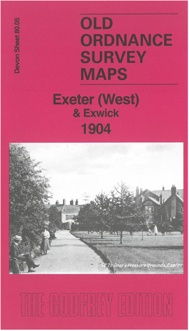
    On the reverse we include part of adjacent sheet 80.09 extending coverage south to include St Thomas church, Pleasure Grounds, Cowick Street, Cowick Barton etc.

    The map links up with sheet 80.06 Exeter to the east.


  • Follow this link for a list of our maps for Devon county or Plymouth; or here for a general list for the South West. For other information and prices, and other areas, go to The Index Page.
  • Maps in the Godfrey Edition are taken from the 25 inch to the mile map and reduced to about 15 inches to the mile. For a full list of maps for England, return to the England page.
    Alan Godfrey Maps, Prospect Business Park, Leadgate, Consett, Co Durham, DH8 7PW / sales@alangodfreymaps.co.uk / 31 March 2026