 Here are the details of maps for Cricklewood:

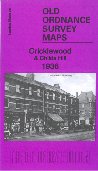
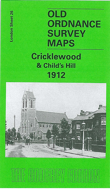
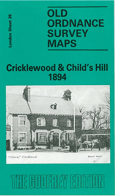
We have three versions of this map, each covering the same area. This is centred on Cricklewood and stretches from St Michael's Road eastward to Finchley Road; from Oxgate Gardens southward to Hillfield Road and Melrose Avenue. It includes Childs Hill and part of Fortune Green.
The maps show the rapid growth of both Cricklewood and Childs Hill. Features on the 1936 include railway with Cricklewood station, junctions and sidings, tramways, Hampstead Cemetery, Fortune Green, Haberdashers' Aske's School, Motor Works, Aeroplane Works, St Gabriel's church, St Michael's church, Omnibus depot, Film Studios, Clock Works, St Peter's church, skating rink,cinemas, All Saints church etc
On the reverse of the 1894 map is a large extract from the 1st Edition map showing Cricklewood and Child's Hill in 1868.
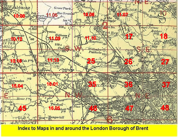
The map links up with Sheets 17 Golders Green to the north, 25 Neasden to the west, 27 Hampstead to the east, 36 Willesden Green to the south.
 Follow this link for a list of our maps for the London Borough of Brent, or here for a complete list of our London maps .