 Here are the details of maps for Chester:

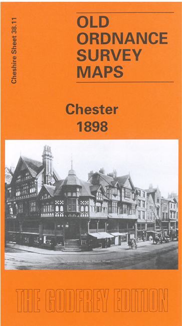
We have published two versions of this map, showing how the area developed across the years.
The map covers the centre of Chester, with coverage stretching from Sealand Road eastward to Boughton House, and from Brook Lane southward to Lower Park Road. The many features include Cathedral; railways with main station, Northgate station, carriage & wagon works, engine shed, goods sheds; Grosvenor Park, City Walls, Town Hall, Eastgate Street, Foregate Street, Bridge Street, Northgate Street, Linen Hall, General Infirmary, Watergate House, northern tip of racecourse, Dee Basin, Garden Lane area, Diocesan Training College, St Thomas church, cattle market, tramways, St John's College, Earl's Eye, Lead Works, Hoole area, Hoole Park, Chester Workhouse, Flookersbrook, Dee Hills Park, Newtown area, etc. On the reverse we include street directory entries for Boughton, Frodsham Street, Grosvenor Place, Lower Bridge Street, Pepper Street, Upper Northgate Street, Watergate Street.