
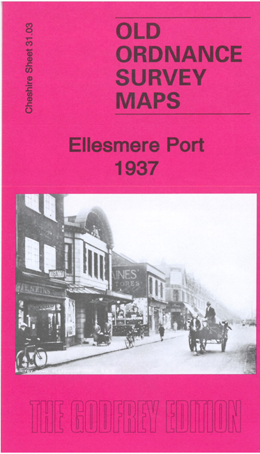
 Here are the details of maps for Ellesmere Port:

This detailed map is double-sided to provide maximum coverage.
The main map covers the main part of the town with features including Mersey Iron Works, Whitby Road, railway with station, Christ Church, cinema, chapels, Rolling Mills, Great Stanney Hall, Shropshire Union Canal, Canal Bridge Works, Cement Works, Steel Drum Works, Manchester Ship Canal and basin, Chemical Works, many railway sidings and mineral lines, etc.
On the reverse we include a good section of adjacent sheet 23.15 (revised in 1909), extending coverage north to include northern part of town, Shropshire Union Railway, canal basins etc. We also include a specially written introduction to the history of the area.