Old Ordnance Survey Maps of Cheshire


  • These detailed maps normally cover an area of about one and a half miles by one mile. Each map includes an introduction.
  • They are available through our On-line Mapshop

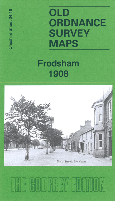
  • Here are the details of maps for Frodsham:

  • Cheshire Sheet 24.16 Frodsham 1908 - published 2023; intro by Alan Godfrey. ISBN.978-1-78721-657-0

    This detailed map is double-sided to provide maximum coverage.

    The main map covers the eastern half of the town. Features here include railway with station, St Lawrence's church, Overton, Churchfield House, Bradley Orchard, River Weaver, Frodsham Bridge, Sutton Mills, bone works, Sutton Causeway, Newtown, Frodsham Cut, jam works, etc.

    On the reverse we include a large part of adjacent sheet 24.15 extending coverage west to include remainder of Main Street, Castle Park, Marsh Green, St Dunstan's church, etc


  • Follow this link for a complete list of our Cheshire maps. For other information and prices, and other areas, go to The Index Page.
  • Maps in the Godfrey Edition are taken from the 25 inch to the mile map and reduced to about 15 inches to the mile. For a full list of maps for the North West, return to the North West page.
    The Godfrey Edition / sales@alangodfreymaps.co.uk / 15 June 2023