Old Ordnance Survey Maps of Cumberland

  • These detailed maps normally cover an area of about one and a half miles by one mile. Each map includes an introduction.
  • They are available through our On-line Mapshop

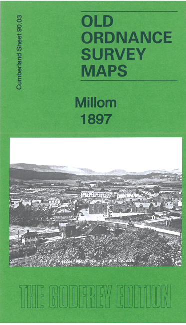
  • Here are the details of maps for Millom:

  • Cumberland 90.03 Millom 1897 - published 2022; intro by Barrie Trinder. ISBN.978-1-78721-542-9

    This detailed map is double-sided for maximum coverage.

    The main map covers the eastern side of the town, including many residential streets, Hodbarrow Branch, Hodbarrow Mines Railway, Hidbarrow Pier, Redhill Quarry, Jackson Pit, Rock PitBorwick Rails Harbour etc

    On the reverse we include part of adjacent sheet 90.02 to extend coverage west. This includes Millom station, St George's church, William Pit, Steel Green, Market Square, New Hall, etc. The maps are packed with industrial and transport detail.


  • Follow this link for a complete list of our Cumberland Series maps. For other information and prices, and other areas, go to The Index Page.
  • Maps in the Godfrey Edition are taken from the 25 inch to the mile map and reduced to about 15 inches to the mile. For a full list of maps for England, return to the England page.
    Alan Godfrey Maps, Prospect Business Park, Leadgate, Consett, Co Durham, DH8 7PW / sales@alangodfreymaps.co.uk / 30 May 2022