Old Ordnance Survey Maps of Cumberland

  • These detailed maps normally cover an area of about one and a half miles by one mile. Each map includes an introduction.
  • They are available through our On-line Mapshop

  • Here are the details of maps for Maryport:

  • Cumberland 44.08a Maryport 1899 - published 1990; intro by Stephen White. ISBN.978-0-85054-333-9
  • Cumberland 44.08b Maryport 1922 - published 2022; intro by Sarah Lee. ISBN.978-1-78721-510-8
  • Cumberland 45.05 Maryport East 1923 - published 2022; intro by Sarah Lee. ISBN.978-1-78721-511-5

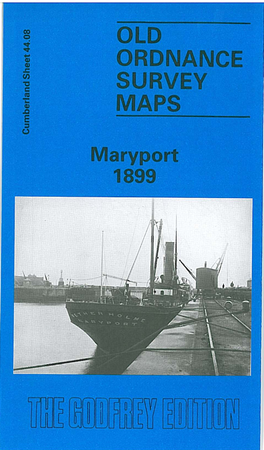
    Note that the 1899 version is double sided to provide as much coverage as possible. However, for the 1922-3 maps we have extended coverage to include better coverage of the east side of Maryport. The following notes refer to this edition:

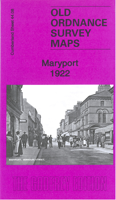
    The Maryport map covers the main part of the town. Features include town centre with individual buildings neatly shown; Senhouse Dock, Elizabeth Dock, Glasson, railway with many sidings and dockside lines, Solway Iron Works, Ellenborough Colliery, St Mary's church, Fleming Square, etc.

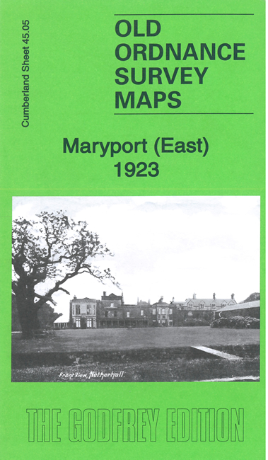
    The Maryport East map extends coverage eastward to include Netherton, Ellenborough, Netherhall, the railway east of the station, the Roman Fort etc.


  • Follow this link for a complete list of our Cumberland Series maps.
  • You can order maps direct from our On-line Mapshop. For other information and prices, and other areas, go to The Index Page.
  • Maps in the Godfrey Edition are taken from the 25 inch to the mile map and reduced to about 15 inches to the mile. For a full list of maps for England, return to the England page.
    Alan Godfrey Maps, Prospect Business Park, Leadgate, Consett, Co Durham, DH8 7PW / sales@alangodfreymaps.co.uk / 11 Feb 2022