
 Here are the details of maps for Princes Risborough:

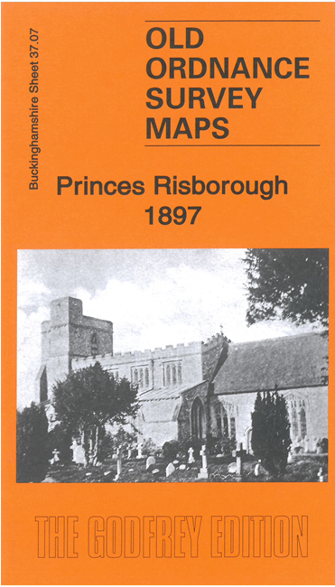
This detailed map of Princes Risborough and Monks Risborough is double-sided for maximum coverage.
The main map covers the small town of Princes Risborough, where features include St Mary's church, Market Hall, Park Mill, Summerley's Farm, Manor House, Chiltern College, Alscot, Alscot Lodge etc. The village of Monks Risborough is also included, with St Dunstan's church, Chestnut Farm, Monks Risborough Mill, plus the hamlet of Whiteleaf.
On the reverse we include part of adjacent sheet 37.11 covering Princes Risborough station, Culverton Mill and Parkfield.
The map includes a specially written introduction to the history of the area by Tony Painter.