
 Here are the details of maps for Blandford Forum:

This very detailed map covers one of the finest Georgian towns in England. A disastrous fire in 1731 meant that the town had to be rebuilt, and because it grew only slowly in the 19th century (the population was under 4,000 in 1901) the Georgian character survived. Features on the map include the whole town centre, largely encircled by the River Stour, the Somerset & Dorset Railway with station (the line was being doubled at the time of this survey), Market Place, workhouse, Blandford Bridge, Hall & Woodhouse Brewery, St Leonard's Farm (which included a medieval chapel), Bryanston Park. To the west the map reaches St Martin's old and new churches, marking the site of an old medieval village.
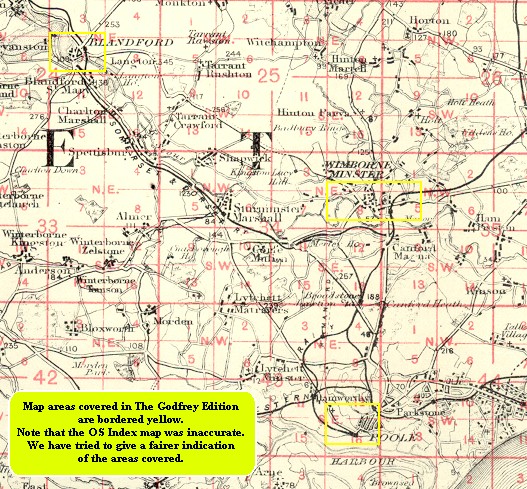
You might find this index map useful.