Old Ordnance Survey Maps of Bedfordshire

  • These detailed maps normally cover an area of about one and a half miles by one mile. Each map includes an introduction.
  • They are available through our On-line Mapshop

  • Here are the details of maps for central Bedford:

  • Bedfordshire 11.16a Bedford 1900 - published 2021, intro by Tony Kirby. ISBN.978-1-78721-402-6
  • Bedfordshire 11.16b Bedford 1924 - published 1991, intro by Barry Stephenson. ISBN.978-0-85054-416-9

    We have published two versions of this map, showing how the area changed across the years.

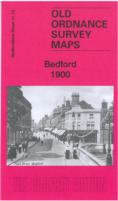
    The maps cover the main part of the town with features such as His Majesty's Prison, Russell Park, Britannia Iron Works, St Mary's Church, Poor Law Institution, Bedford School, St Martins Church, Midland Road Station, St Pauls Church and Bedford & Cambridge Branch railway line. Main Streets on the map include Bushmead Avenue, Castle Road, High Street, Goldington Road, Tavistock Street and Midland Road.


  • Follow this link for a complete list of our Bedfordshire maps.
  • You can order maps direct from our On-line Mapshop. For other information and prices, and other areas, go to The Index Page.
  • Most maps in the Godfrey Edition are taken from the 25 inch to the mile map and reduced to about 15 inches to the mile. For a full list of maps for England, return to the England page.
    The Godfrey Edition / sales@alangodfreymaps.co.uk / 9 February 2021