
 Here are the details of maps for Lisburn:

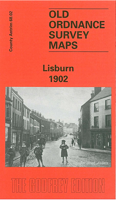
This very detailed map covers the busy town (today city) of Lisburn, with coverage stretching from Longstone Street and Longstone Lane eastward to Grove Street and Grove House; and from North Circular Road southward to the Workhouse and Cemetery. Note that the Co Down part of the map is left blank but the map does include the Largymore area east of the Lagan, which was part of Lisburn UDC.
The many features include Christ Church Cathedral, Market Square, town centre with all buildings neatly delineated, Castle Gardens, Millbrook and Beetling Mill, cattle market, Smithfield, St Patrick's RC church, flax spinning mill, railway with station, Christ Church, handerchief works, Union Workhouse, Manor House, River Lagan and Lagan Navigation, Largymore, Largymore Factory, Ballymullan area, Lagan Factory, The Island, Roseville, etc. On the reverse we include a list of private residents, fromn a contemporary directory.