 Here are the details of maps for Belfast (Skegoneill):

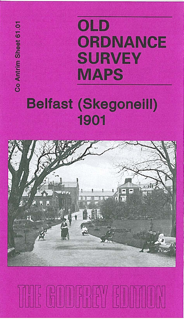
This very detailed map covers a northern area of Belfast, with coverage from Milewater Road northward to Fort William Park, and from Cavehill Road eastward to the railway.
Features on the map include Skegoneill Brick Works, railway with engine shed and carriage shed, Fort William, Jennymount Flax Spinning Mill, Dock Buuilding Work, tramways, Ulster Timber Depot, The Grove, Antrim Road area with houses neatly shown, Reservoir, Hopefield House, Alexandra Park, Holy Family RC church, Dunmore, Limestone Road, Fortwilliam Park Presbyterian church, Chichester Park etc. On the reverse we include street directory entries for Antrim Road, Fortwilliam Parade and Fortwilliam Park.
The map links up with sheets 60.04 Belfast Oldpark to the west, 61.05 Belfast North to the south.