
Here are the details of maps for Menai Bridge
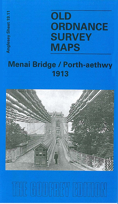
Anglesey sheet 19.11 · Menai Bridge / Porth-aethwy 1913
Published 2001; intro by Derrick Pratt.
ISBN 978-1-84151-624-0

This detailed map covers the small town of Menai Bridge, plus the western part of Bangor on the Caernarvonshire shore. The map includes a section of Caernarvonshire sheet 6.11.
Features include Menai Bridge town centre with individual buildings neatly shown, Menai Suspension Bridge (at foot of map), Anglesey Arms Hotel, Uxbridge Square, Church Island, St Tysilio's church, chapels, Mount Pleasant area, St George's Pier, Halfway House, Pont Cadnant (at top of map), Ynys Gaint, Ynys Castell, Ynys Faelog, Ynys Tobig, Victoria Hotel, old causeway, Ynys Benlas, Ynys Welltog, Swelly Rock, Pentraeth Road area, Coed Colonel, Auction Mart. The small Caernarvonshire area includes Gorphwysfa, George Hotel.
Please note that though this map is clear and very detailed, the original printing was a little greyer than usual. On the reverse we include a 1910 business directory of Menai Bridge.
The map links up with Anglesey sheet 19.10 Llanfair-pwllgwyngyll to the west and Caernarvonshire sheet 6.12 Bangor to the east.