Yorkshire 298.03 Dore 1903 - published 2020; intro by Melvyn Jones. ISBN.978-1-78721-358-6 
This detailed map covers Dore, originally in Derbyshire, which was transferred to Sheffield in 1934.
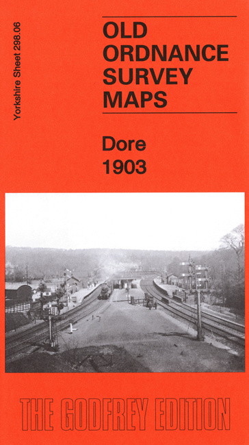
Features include the village of Dore, with Christ Church, Crofthouse Farm, Dore Hall, Causeway Head, Rushley Farm, Moorbottom Farm,
Ryecroft Farm, Abbeydale Park, Midland Railway with Dore & Totley station, Abbeydale Works etc
You can order maps direct from our On-line Mapshop.
For other information and prices, and other areas, go to The Index Page.
Maps in the Godfrey Edition are taken from the 25 inch to the mile map and reduced to about 15 inches to the mile.
Follow this link for a complete list of our Sheffield maps; or here for the
whole Yorkshire series.
Alan Godfrey Maps, Prospect Business Park, Leadgate, Consett, Co Durham, DH8 7PW / sales@alangodfreymaps.co.uk / 25 September 2020

 Here are the details of maps for Dore: