
 Here are the details of
maps for Meadowhall:
Here are the details of
maps for Meadowhall:

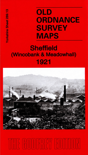
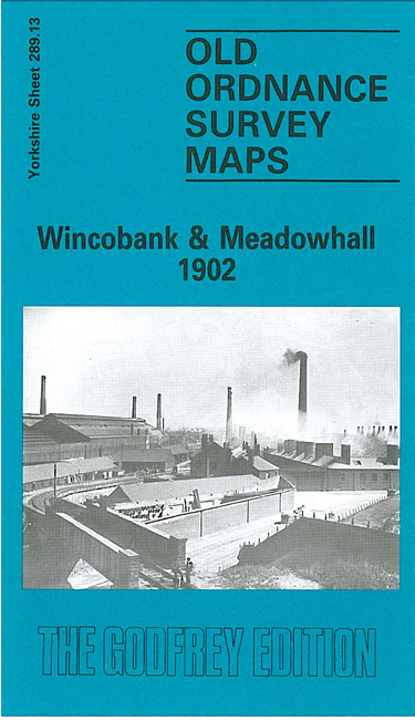
We have published two versions of this map, showing how the area changed across the years. The maps covers the area now known for the massive Meadowhall Shopping Centre. Coverage stretches from High Wincobank eastward to Tinsley Bridge, and from Newman Road southward to Weedon Street.
Features on the map (from 1921 version) include Midland Railway with Brightside station, Wincobank & Meadowhall station, Sheffield District Railway with West Tinsley station, Great Central Railway with Tinsley station, Imperial Steel Works, Tinsley Steel Works, Brightside Works, East Hecla Works, Railway Buffer Works, Sheffield Tube Works, Meadowhall Iron Works, Grimethorpe Gas Works, River Don Works, High Wincobank, St Margaret's church, tramways and Tramcar Depot, Sheffield & Tinsley Canal, River Don, Wincobank Rolling Mills, etc
The map links up with Sheets 288.16 Sheffield Longley to the west, 289.14 Templeborough to the east, and 295.01 Attercliffe to the south.