Old Ordnance Survey Maps of Yorkshire

  • These detailed maps normally cover an area of about one and a half miles by one mile. Each map includes an introduction.
  • They are available through our On-line Mapshop

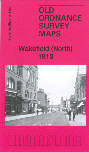
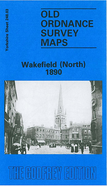
  • Here are the details of maps for Wakefield (N):

  • Yorkshire 248.03a Wakefield (North) 1890 - published 1987; intro by John Goodchild. ISBN.978-0-85054-109-0
  • Yorkshire 248.03b Wakefield (North) 1913 - published 2021; intro by Alan Godfrey. ISBN.978-1-78721-400-2

    We have published two versions of this detailed map, showing how the area changed across the years. The maps cover the centre and northern part of the city.

    Features include the Cathedral, Borough Market, St Andrew's church, Westgate station, Prison (left blank for security reasons), St Johns Ward, Northgate Ward, West Riding Lunatic Asylum, St John's Grove, East Moor, Westfield Grove, Newton, St John's Mill, Wrenthorpe Colliery with railway line, Clark Hall.

    The map links up with Sheet 233.15 Outwood to the north, 248.02 Alvethorpe to the west, 248.07 Wakefield South to the south.


  • You can order maps direct from our On-line Mapshop. For other information and prices, and other areas, go to The Index Page.
  • Maps in the Godfrey Edition are taken from the 25 inch to the mile map and reduced to about 15 inches to the mile. Follow this link for a complete list of our Wakefield maps; or here for the whole Yorkshire series.
    Alan Godfrey Maps, Prospect Business Park, Leadgate, Consett, Co Durham, DH8 7PW / sales@alangodfreymaps.co.uk / 23 February 2021