Old Ordnance Survey Maps of Leeds

  • These detailed maps normally cover an area of about one and a half miles by one mile. Each map includes an introduction.
  • They are available through our On-line Mapshop

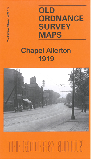
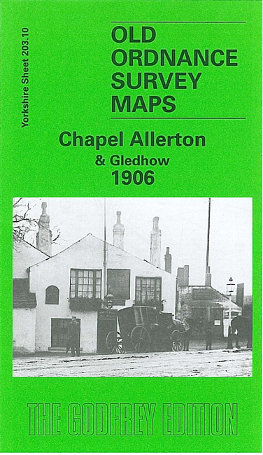
  • Here are the details of maps for Chapel Allerton:

  • Yorkshire Sheet 203.10a Chapel Allerton & Gledhow 1906 - published 1996; intro by G C Dickinson. ISBN.978-0-85054-792-4
  • Yorkshire Sheet 203.10b Chapel Allerton 1919 - published 2021; intro by Alan Godfrey. ISBN.978-1-78721-488-0

    We have published two versions of this map, showing how the area changed across the years.

    The maps cover Chapel Allerton, on the north side of Leeds. Most of the village is shown, including Old Church, Allerton Hall, Allerton House, Allerton Hill, St Matthew's church, Allerton Park, Hawkhills, Woodland Lane. The Harrogate Road (with tramway) runs through the village, and the map extends north along it to Moor Allerton Bottoms, Whinbrook and Broomhill Farm. East of the village is Gledhow Park and coverage extends east to cover Gledhow, incl Gledhow Hall, Oakley House and the group of streets between Lidgett Lane and Jackson Avenue. To the north are Lidgett Farm, Allerton Grange and Moor Allerton Hall.


    The map links up with Sheets 203.09 Meanwood to the west, 203.11 Roundhay Park to the east and 203.14 Leeds Harehills to the south.


  • Follow this link for a complete list of our Bradford or Leeds area maps; or here for the whole Yorkshire series. You can order maps direct from our On-line Mapshop. For other information and prices, and other areas, go to The Index Page.
  • Most maps in the Godfrey Edition are taken from the 25 inch to the mile map and reduced to about 15 inches to the mile.
    For a full list of maps for England, return to the England page.
    Alan Godfrey Maps, Prospect Business Park, Leadgate, Consett, Co Durham, DH8 7PW / sales@alangodfreymaps.co.uk / 2 November 2021