Old Ordnance Survey Maps of Yorkshire

  • These detailed maps normally cover an area of about one and a half miles by one mile. Each map includes an introduction.
  • They are available through our On-line Mapshop

  • Here are the details of maps for Skipton:

  • Yorkshire Sheet 168.05 Skipton 1907 - published 1999; intro by Alan Godfrey. ISBN.978-1-84151-104-7

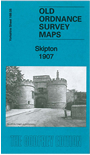
    This detailed map displays Skipton in 1907. Most of the town is covered, with coverage stretching from Carleton New Road eastward to Jenny Gill Reservoir. Features include the railway station, a stretch of the Ilkley Branch as it runs east of the town, Leeds & Livferpool Canal, Belle Vue Mills, workhouse, Spring Gardens, Whinny Gill Reservoir, Union Mills, High Street and town centre, Christ Church, Springs Canal, Castle, Park Mill, Middle Town, New Town, limestone tramway and much else. The reverse side of the map features extracts from a contemporary directory.

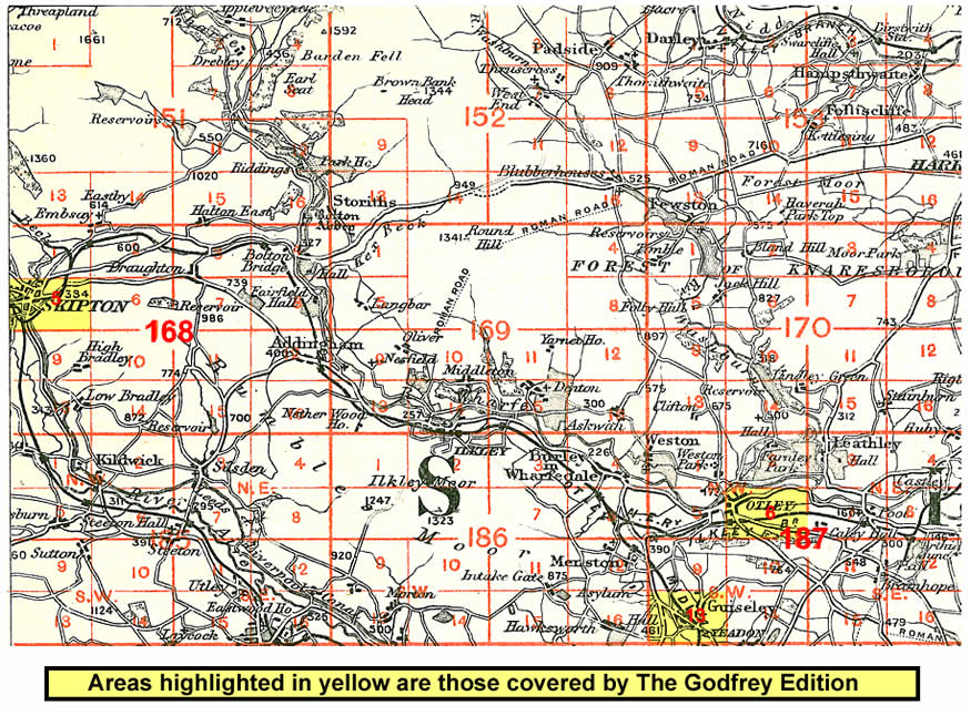
    And here is an index map showing the area covered.


    Follow this link for a complete list of our North Yorkshire maps; or here for the whole Yorkshire series.

    You can order maps direct from our On-line Mapshop. For other information and prices, and other areas, go to The Index Page.


    Maps in the Godfrey Edition are taken from the 25 inch to the mile map and reduced to about 15 inches to the mile. For a full list of maps for England, return to the England page.

    Alan Godfrey Maps, Prospect Business Park, Leadgate, Consett, Co Durham, DH8 7PW / godfreyedition@btinternet.com / 6 Oct 2011