Old Ordnance Survey Maps of Worcestershire

  • These detailed maps normally cover an area of about one and a half miles by one mile. Each map includes an introduction.
  • They are available through our On-line Mapshop

  • Here are the details of maps for Halesowen (W):
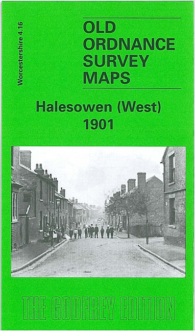
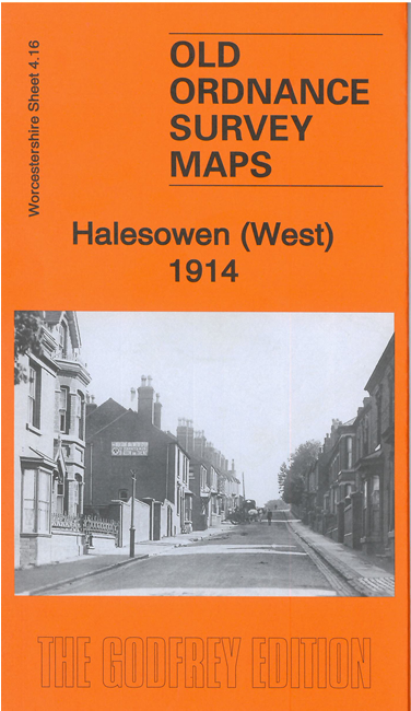
  • Worcestershire Sheet 4.16 Halesowen (West) 1901 - published 2000; introduction by John Maddison

    This detailed map covers the western part of Halesowen, and part of Hasbury, including Lower Hasbury. The suburbs of Town's End, Spring Hill and Short Cross are included.

    Features include St John the Baptist church, Otterbourne Court, Spring Villas, Grammar School, Newfield House, Hasbury Farm, Lower Hasbury, St Margaret's Well, Sampson & Lion pub, Witley Colliery, Lutley Mill, Bassnage Farm. On the reverse we include a commercial directory of Halesowen in 1896.

    The map links up with Worcestershire sheets 4.12 Cradley South to the north, 5.13 Halesowen (East) to the east.


    You can order maps direct from our On-line Mapshop. For other information, a full catalogue and Prices, see Index Page.


    Maps in the Godfrey Edition are taken from the 25 inch to the mile map and reduced to about 15 inches to the mile. For a full list of maps for the area, return to the Worcestershire page or West Midlands page.

    The Godfrey Edition / For queries email sales@alangodfreymaps.co.uk / 5 April 2011