
 Here are the details of maps for Woolwich:

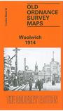
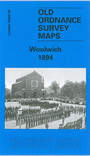
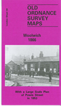
We have published three versions of this map, showing how the area changed across the years. The maps each cover the same area, stretching from Maryon Road and Wood Street eastward to Earl Street and Waverley Road; from St Mary's church and Powis Street southward to Woolwich Common and Nightingale Vale. The map therefore includes the centre of Woolwich, the area around the Royal Artillery Barracks, and west Plumstead. Please note that the Dockyard and Royal Arsenal areas were left blank for security reasons. However, the maps still give a great deal of information elsewhere. Features include the town centre, Red Barracks, Cambridge Barracks, Royal Artillery Barracks, Royal Military Repository, Charlton Cemetery, Grand Depot Barracks, both Woolwich stations, tramways, St George's church, St Margaret's Plumstead church, Burrage Town, Brookhill Park, Barrack Field, Naval Hospital, Royal Marine Barracks etc. The 1914 map also includes street directory extracts for Beresford Square, Burrage Road, Nightingale Place, Artillery Place, and further street directory entries are on the 1894 map, for Burrage Road, Herbert Road, New Road, Plumstead Common Road, Powis Street and Wellington Street. However, the 1866 map has another map on the reverse, Sheet 11 of the 10 foot plans of Woolwich. This shows Powis Street in tremendous and attractive detail, even including features such as garden layouts.
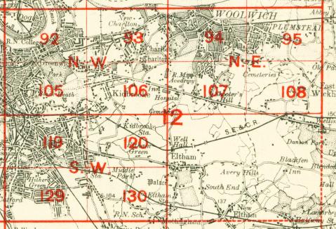
The map links up with Sheets 81 North Woolwich to the north, 93 Charlton to the west, 95 Plumstead to the east and 107 Shooters Hill to the south.
 Follow this link for a complete list of our London maps .